River Stort Valley Way Walk
![]()
![]() A lovely riverside circular walk around Harlow, Nazeing and Roydon.
A lovely riverside circular walk around Harlow, Nazeing and Roydon.
The path runs along the River Stort from Roydon and then onto Harlow and Sawbridgeworth. This section involves some easy riverside walking and a series of pretty locks. The route then heads through Matching Park, Harlow Park and Latton Park before heading back to Roydon through Bumble's Green and Nazeing.
Stort Valley Way Ordnance Survey Map  - view and print off detailed OS map
Stort Valley Way Open Street Map  - view and print off detailed map
Stort Valley Way OS Map  - Mobile GPS OS Map with Location tracking
Stort Valley Way Open Street Map  - Mobile GPS Map with Location tracking
Pubs/Cafes
You could make a pit stop in Harlow at the conveniently located Moorhen. The riverside pub has a nice garden area where you can sit out and enjoy views over the river. They also do good food at reasonable prices. You can find them on Burnt Mill Lane with a postcode of CM20 2QS for your sat navs.
The Old Bell in Sawbridgeworth well worthy of some investigation. The historic pub is housed in a 16th Century timber-framed former coaching house. There's a charming interior with exposed beams and a fine open fireplace. Outside there's a pleasant garden area for warmer days. You can find them on Bell Street at postcode CM21 9AN for your sat navs.
Further Information and Other Local Ideas
At Roydon the trail links with the Lea Valley Walk. This long distance trail will take you along the River Lea from the source at Leagrave, near Luton, to the River Thames at Limehouse Basin.
The Harlow Walk uses part of the trail to explore the river and the pretty Pishiobury Park in Sawbridgeworth. The historic park includes ‘Capability’ Brown style landscape features and riverside paths.
At Hoddesdon you could take a smaller detour to visits the abundance of birdlife at the Rye Meads RSPB Nature Reserve.
For more walking ideas in the area see the Essex Walks and Hertfordshire Walks pages.
Cycle Routes and Walking Routes Nearby
Photos
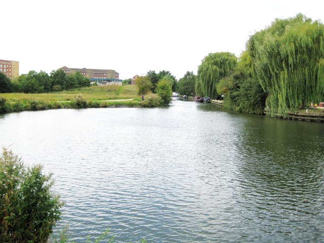
Stort Valley Way — in Essex. The circular footpath passing through this point links up with the longer Lea Valley Walk at Harlow.
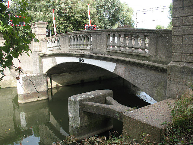
Bridge over the Stort Navigation at Roydon. An attractive stone bridge with balustrades, its abutments prevented by concrete fenders from collision by boats.
Elevation Profile


