Stourport to Bewdley River Walk
![]()
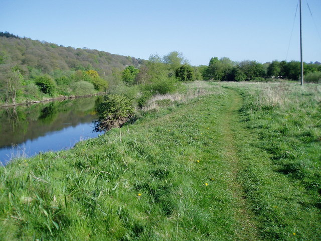
![]() This easy walk takes you along the River Severn from Stourport to Bewdley. It's about a 4 mile walk along a fairly flat section of the Severn Way long distance footpath.
This easy walk takes you along the River Severn from Stourport to Bewdley. It's about a 4 mile walk along a fairly flat section of the Severn Way long distance footpath.
Start the walk on Stourport Bridge and follow the Severn Way north west, passing the pretty riverside meadows and Areley Hall on the opposite side of the river. Areley Hall mainly dates from the late 16th century, though extensive alterations were carried out in the 1820s and 1870s. It is Grade II listed and largely timber-framed with some brick additions.
You continue to Blackstone and then past the Bewdley-by-pass before crossing the river at Bewdley Bridge. The three-span masonry arch bridge over was designed by civil engineer Thomas Telford and dates from the 18th century.
This route finishes in Bewdley but you could extend the walk by continuing south along the opposite side of the river to the Blackstone Riverside Park and Ribbesford Woods where there's some nice woodland trails.
In the town you could also visit The Queen Elizabeth II Jubilee Gardens which are located between the Bewdley Museum and the River Severn. The Bewdley museum, housed in the Guildhall explores the history of the town and has displays on local crafts such as coopering, basket making, agriculture, charcoal burning and tanning.
See the Wyre Forest page for more walking and cycling ideas in the area.
Stourport to Bewdley River Walk Ordnance Survey Map  - view and print off detailed OS map
Stourport to Bewdley River Walk Open Street Map  - view and print off detailed map
Stourport to Bewdley River Walk OS Map  - Mobile GPS OS Map with Location tracking
Stourport to Bewdley River Walk Open Street Map  - Mobile GPS Map with Location tracking
Pubs/Cafes
At the end of the route you can enjoy refreshments at the Mug House Inn. This riverside inn has a sun terrace and restaurant overlooking the River Severn. It's a fine place to enjoy a meal on a pleasant summer day. You can find the pub just north of the Bewdley Bridge at 12-13 Severn Side N with a postcode of DY12 2EE for your sat navs.
Dog Walking
The river paths make for a pleasant dog walk and the Mug House Inn mentioned above is also dog friendly.
Further Information and Other Local Ideas
For a longer route try our Stourport Circular Walk which visits the river and Hartlebury Common. You could also pick up the Geopark Way long distance footpath which runs through the surrounding Worcestershire countryside. The town is also on the edge of the Wyre Forest where there are miles of good cycling and walking trails to try. There is a visitor centre situated just outside Bewdley at Callow Hill on the road to Cleobury Mortimer, where many waymarked trails through the forest start from.
In Bewdley there's the Ribbesford Circular Walk to try. This waymarked trail takes you around the pretty Blackstone Riverside Park and into the countryside just to the south west of the town.
Just to the south of Stourport is the worthy village of Ombersley where you'll find a number of interesting timber framed properties, an ancient 15th century pub and the historic Ombersley House Estate.
For more walking ideas in the area see the Worcestershire Walks page.


