Streatley Hill Circular Ridgeway Walk
![]()
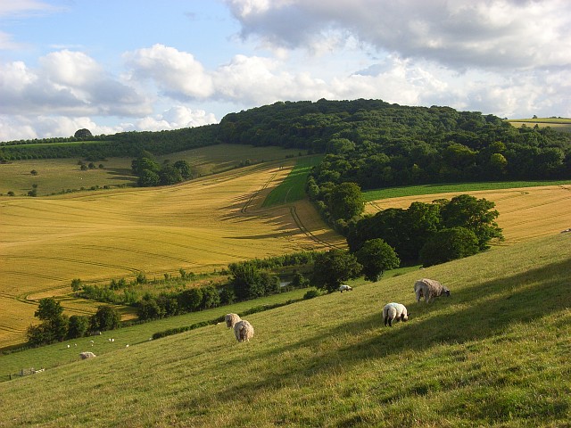
![]() A circular walk from Streatley, climbing onto the Ridgeway Hills to the west of the town before looping round across Cholsey Downs and returning via the River Thames. There's fine views over the Chiltern Hills, a visit to an ancient Roman Temple and a nice easy riverside stretch to finish. Much of the route takes place on country lanes or bridle paths so could be completed on a cycle as well.
A circular walk from Streatley, climbing onto the Ridgeway Hills to the west of the town before looping round across Cholsey Downs and returning via the River Thames. There's fine views over the Chiltern Hills, a visit to an ancient Roman Temple and a nice easy riverside stretch to finish. Much of the route takes place on country lanes or bridle paths so could be completed on a cycle as well.
The route starts in the village where you can pick up The Ridgeway National Trail. Follow the waymarked footpath north west and it will take you up to Thurle Down. Head west along the path and it leads to Warren Farm where you can turn north to Dean's Bottom and Lowbury Hill. The hill is notable as the site of a former Roman temple.
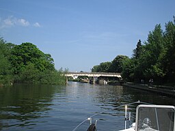
After passing the temple the route turns north east along the Fair Mile which is a former Racehorse Gallops. Follow the trail east across Cholsey Downs and you can then descend to the riverside village of Moulsford. The final section then picks up a nice footpath along the River Thames to take you back into Streatley. Back in the village you can enjoy refreshments at the riverside Swan Inn. It's a great place to sit outside and enjoy river views and refreshments in the summer months.
To continue your walking in the area try our Goring Circular Walk which takes you along the Oxfordshire and Berkshire sides of the Thames using the Ridgeway and the Thames Path National Trails.
Streatley Ordnance Survey Map  - view and print off detailed OS map
Streatley Open Street Map  - view and print off detailed map
Streatley OS Map  - Mobile GPS OS Map with Location tracking
Streatley Open Street Map  - Mobile GPS Map with Location tracking
Walks near Streatley
- The Ridgeway - Step back in time on this wonderful 85 mile route which follows an ancient chalk ridge route used by prehistoric man The trail starts at Overton Hill in Wiltshire on the edge of the Marlborough Downs and heads east through the Chiltern Hills to Ivinghoe Beacon in Buckinghamshire
- Goring - This riverside village in South Oxfordshire is ideally located for walking with two National Trails passing through the area
- Thames Path - Starting at the Source of the Thames at Thames Head in Gloucestershire, follow the iconic river through beautiful countryside and historic towns to the city of London.
- Woodcote - This South Oxfordshire based village is a nice place to start a woodland and countryside walk
- Aldworth - This rural village in Berkshire sits just to the west of Streatley, near the border with Oxfordshire.
- Moulsford - This South Oxfordshire based village is located on the River Thames near Streatley and Wallingford.
Pubs/Cafes
On the route you could stop off at the noteworthy Beetle and Wedge pub In Moulsford. The 19th century pub is positioned in a lovely spot right next to the river with an outdoor seating area commanding fine views across the water. They serve good quality dishes and have a restaurant area with a classic and modern British menu.
The stretch of the Thames around Moulsford has strong literary connections featuring in The Wind in the Willows and Jerome K Jerome's Three Men in a Boat. In 2005 the restaurant played host to Griff Rhys Jones, Dara Ó Briain and Rory McGrath, and a dog called Loli, during the filming of 'Three Men in a Boat' – a film broadcast and commissioned by the BBC as a modern-day reinterpretation of the travelogue by Jerome K Jerome.
Further Information and Other Local Ideas
Just to the west you'll find the neighbouring village of Aldworth where you can visit the historic 13th century church and the popular Bell Inn pub. The noteworthy pub is Grade II listed and dates back to the 15th century.
Photos
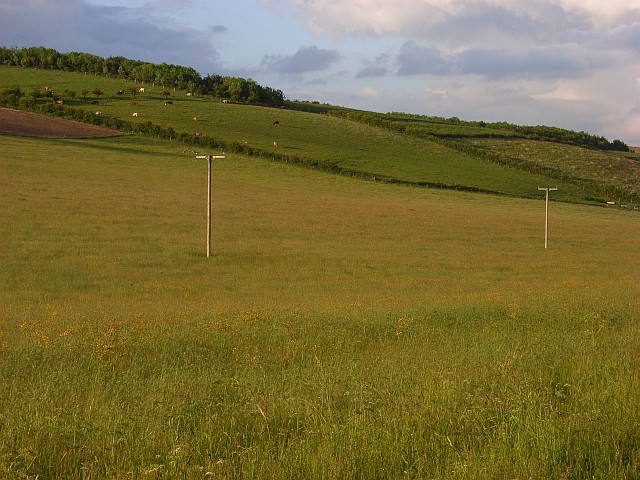
Site of the former Roman temple on Lowbury Hill, Aston Upthorpe, Oxfordshire. The footprint of the temple is barely discernable as areas of shorter, discoloured grass, raised slightly above the surrounding field.


