Wallingford Circular Walk
![]()
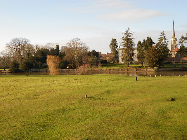
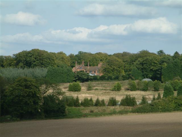
![]() This circular walk explores the countryside surrounding the riverside Oxfordshire town of Wallingford. The route makes use of three of the long distance trails which pass through the area. You'll follow sections of the Thames Path the The Ridgeway and The Swan's Way as you make your way through the beautiful Chiltern's countryside which surrounds the town. The route reaches high points of nearly 700ft so there are some moderate climbs with wonderful views to enjoy.
This circular walk explores the countryside surrounding the riverside Oxfordshire town of Wallingford. The route makes use of three of the long distance trails which pass through the area. You'll follow sections of the Thames Path the The Ridgeway and The Swan's Way as you make your way through the beautiful Chiltern's countryside which surrounds the town. The route reaches high points of nearly 700ft so there are some moderate climbs with wonderful views to enjoy.
The town itself is also a gem of the county and well worth exploring. There's a fine musuem and a Town Hall with a 15th-century town seal and portraits by Thomas Gainsborough. There's also the fascinating ruins of the 11th century Wallingford Castle. The castle grounds, including the remains of St Nicholas College, two sections of castle wall and the motte hill, are now open to the public.
The walk starts from Wallingford Bridge over the River Thames. The route crosses the bridge and then turns south towards Newnham Farm. Cross the A4130 carefully and then pick up the Ridgeway and head east towards Nuffield. Here the walk turns north, heading towards Ewelme Park and Swyncombe. Here you turn west, passing along Ladies Walk where you pick up The Swan's Way. This takes you across the attractive Ewelme Downs to the Ridgeway. You follow the path west back to the river, where you enjoy a final waterside stretch along the Thames, taking you back into the town.
To extend your walking in the area you can continue north along the river to Shillingford and Dorchester. Heading south will take you to Goring and Streatley.
Wallingford Circular Walk Ordnance Survey Map  - view and print off detailed OS map
Wallingford Circular Walk Open Street Map  - view and print off detailed map
Wallingford Circular Walk OS Map  - Mobile GPS OS Map with Location tracking
Wallingford Circular Walk Open Street Map  - Mobile GPS Map with Location tracking
Walks near Wallingford
- Ewelme - This delightful Oxfordshire village sits in a lovely spot in the Chiltern Hills, close to the River Thames.
- Wittenham Clumps - This circular walk climbs to these two distinctive hills near Dorchester
- Faringdon Circular Walk - This circular walk around the Oxfordshire town of Faringdon, visits Faringdon Folly and the village of Littlelworth
- Stoke Row - This walk takes you around the pretty Oxfordshire village of Stoke Row
- Greys Court - This walk explores the area around the National Trust's Greys Court in Henley-on-Thames, Oxfordshire.
- Dorchester Circular Walk - The delightful Oxfordshire town of Dorchester on Thames has some lovely footpaths to follow through the surrounding countryside and woodland
- Didcot - The Oxfordshire town of Didcot has some nice trails to follow into the surrounding Chilterns countryside.
This walk visits some of the highlights of the area using a mixture of country lanes, public footpaths and waymarked long distance trails - Thames Path - Starting at the Source of the Thames at Thames Head in Gloucestershire, follow the iconic river through beautiful countryside and historic towns to the city of London.
- The Ridgeway - Step back in time on this wonderful 85 mile route which follows an ancient chalk ridge route used by prehistoric man
- The Swan's Way - The Swan's Way long distance bridleroute runs from Salcey Forest in the north to Goring on Thames in the south, a distance of 65 miles (105km)
- Benson - This pretty South Oxfordshire village is in a great spot for riverside walks and exploring the Chilterns Hills AONB
- Woodcote - This South Oxfordshire based village is a nice place to start a woodland and countryside walk
- Ipsden - This pretty little South Oxfordshire village is located in the Chiltern Hills near the town of Wallingford.
Further Information and Other Local Ideas
The circular Ewelme Walk visits the town from the neighbouring village. It's well worth a visit with the pretty Ewelme Watercress Beds Local Nature Reserve a real local highlight.
Just to the west there's the popular climb to Wittenham Clumps where you can enjoy some glorious views over the surroundings countryside.
Head north along the river and you will soon come to the village of Benson. There's a Norman church, a fine 18th century coaching inn and the picturesque Benson Lock to see in this worthy settlement.
To the south east there's neighbouring Ipsden where you can explore the trails on Ipsden Heath and visit the 12th century Norman church.
For cyclists the town makes a good entry point for the epic Chilterns Cycleway. The signed circular trail runs for about 170 miles through the Chilterns AONB on quiet country lanes, visiting a series of delightful villages.


