Swansea to Mumbles Walk
![]()
![]() Swansea has some great coastal walking with other nice trails to be found in the woods, country parks, reservoirs and canals nearby. It's proximity to the Afan Forest, the Brecon Beacons National Park and the wonderful Gower AONB also make it a great base for walkers.
Swansea has some great coastal walking with other nice trails to be found in the woods, country parks, reservoirs and canals nearby. It's proximity to the Afan Forest, the Brecon Beacons National Park and the wonderful Gower AONB also make it a great base for walkers.
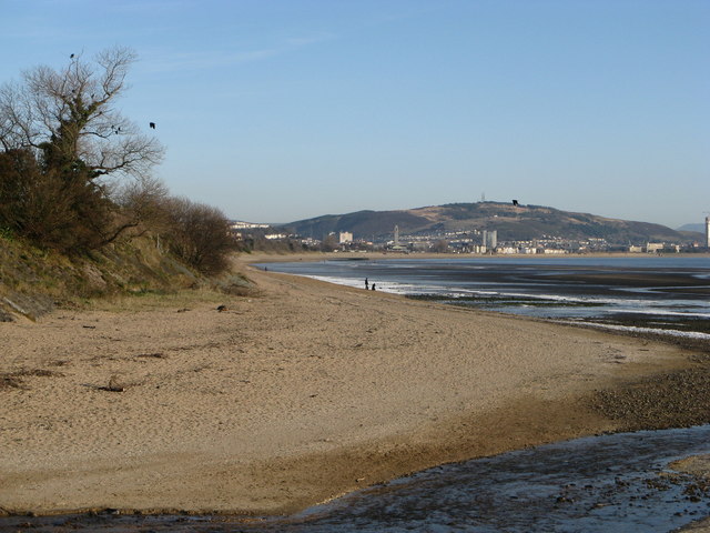
This walk around Swansea takes you along the Wales Coast Path to Singleton Park, Clyne Valley Country Park and the Mumbles. There's great views across Swansea Bay with its lovely beaches and the opportunity to explore some coastal parks on the way.
The walk starts at the marina next to the River Tawe in Swansea. You follow the path west past The Tower at Meridian Quay, the tallest building in Wales, standing at 107m (351ft). Soon after you come to Brynmill and the lovely Singleton Park. The botanical gardens feature Herbaceous borders, a Rock garden, Ornamental gardens, a Japanese bridge, Glasshouses and a Herb garden.
The path then bends round to the south towards Black Pill where you can visit Clyne Valley Country Park. Here you will find 700 acres of wooded hillsides, steep gorges, meadows and wet valley floor.
The path continues south into the Mumbles District where you will pass the ruins of Oystermouth Castle. The Norman stone castle, overlooks Swansea Bay on the east side of the Gower Peninsula.
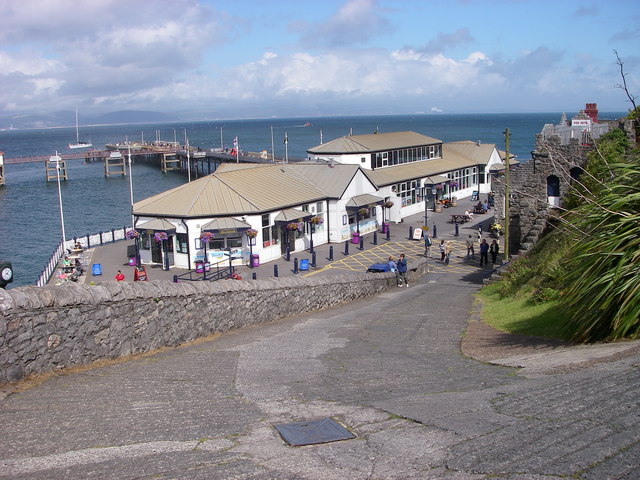
The final section climbs towards Mumbles Head finishing near the Victorian pier. The pier was opened in 1898 at the terminus of the Swansea and Mumbles Railway, which in its time was one of the oldest passenger railways in the world. There's also a Lighthouse built in 1794 and a number of nice cafes and pubs for refreshments at the end of your walk.
You can virtually explore this section of the coast path on the google street view link below.
Swansea Ordnance Survey Map  - view and print off detailed OS map
Swansea Open Street Map  - view and print off detailed map
*New* - Walks and Cycle Routes Near Me Map - Waymarked Routes and Mountain Bike Trails>>
Swansea OS Map  - Mobile GPS OS Map with Location tracking
Swansea Open Street Map  - Mobile GPS Map with Location tracking
Explore the Area with Google Street View 
Further Information and Other Local Ideas
Just east of the city centre there's a fine climb to Kilvey Hill to try. There's some peaceful woodland trails and excellent views over the city and docks from this prominent viewpoint.
Cyclists can pick up National Cycle Route 43 which runs north to Caehopkin where you link with the popular Celtic trail. The route passes along the Swansea Canal which is suitable for cyclists and walkers.


