Walks Around Tadley
![]()
![]() This Hampshire based town is located near to some large areas of woodland and the attractive scenery of the North Downs. The large towns of Newbury and Reading are also close by.
This Hampshire based town is located near to some large areas of woodland and the attractive scenery of the North Downs. The large towns of Newbury and Reading are also close by.
This walk from the town follows the Brenda Parker Way east to visit Pamber Forest and the ancient Roman Fort at Silchester.
The walk starts in the village and heads east to explore Pamber Forest. The expansive area of woodland is a great place for walks and birdwatching.
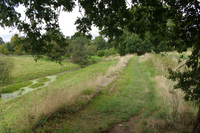
You continue east to Silchester where you'll find the remains of the fascinating Roman town of Calleva Atrebatum. Here you can enjoy a walk around the Roman Walls which are still visible for much of the circumference.
Please scroll down for the full list of walks near and around Tadley. The detailed maps below also show a range of footpaths, bridleways and cycle paths in the area.
Tadley Ordnance Survey Map  - view and print off detailed OS map
Tadley Open Street Map  - view and print off detailed map
*New* - Walks and Cycle Routes Near Me Map - Waymarked Routes and Mountain Bike Trails>>
Tadley OS Map  - Mobile GPS OS Map with Location tracking
Tadley Open Street Map  - Mobile GPS Map with Location tracking
Walks near Tadley
- Pamber Forest - This large forest in Tadley covers nearly 500 acres
- Silchester - This walk follows the waymarked Silchester trail around the Hampshire village
- Ashford Hill Nature Reserve - Explore the old water meadows and woodland in this pretty nature reserve near Newbury
- Greenham Common - Explore the Greenham and Cookham Commons on this circular walk near Newbury
- Newbury - The delightful Berkshire town of Newbury is a great place for waterside walks along the rivers, canal and lakes you can find in the area.
This short, easy stroll takes you along the Kennet and Avon Canal to the nearby Thatcham Discovery Centre - Reading Circular River Walk - This circular walk takes in a number of waterways including the River Thames, the River Kennet and the Kennet and Avon Canal
- Reading Canal Walk - This walk takes you along the Kennet and Avon Canal from Reading to Aldermaston Wharf
- Aldermaston Wharf Canal Walk - This Berkshire based village has some nice river and canalside trails to try.
- Bramley - This rural Hampshire village has some nice local country and woodland trails to try
- Burghfield Wokefield Common - This walk explores Wokefield Common Nature Reserve in Burghfield Common, West Berkshire.
- Donnington Castle - Enjoy a stroll around this historic castle before visiting the nearby Snelsmore Common on this circular walk in Newbury
- Snelsmore Common Country Park - This circular walk takes you around the peaceful Snelsmore Common Country Park in Newbury and on into the surrounding countryside along public footpaths
- Bowdown Woods - This nature reserve sits on the northern edge of Greenham Common.
- Padworth Common Walk - This circular walk explores Padworth Common Nature Reserve in Berkshire.
- Mortimer West End Benyon's Enclosure and Kiln Pond Walk - This circular walk explores the woodland to the west of the Berkshire village of Mortimer West End.
Pubs/Cafes
The Pelican is a good place for some post walk refreshments. They serve traditional Pub Grub and Thai Food which you can enjoy in the large garden area. The historic inn dates back to 1860 and can be found at Silchester Road, Pamber Heath, RG26 3EA.
There's also the Fox & Hounds at Mulfords Hill, RG26 3JG.
Dog Walking
The woodland and heathland areas next to the town are ideal for dog walkers. The Fox & Hounds mentioned above is also dog friendly.
Further Information and Other Local Ideas
Ashford Hill Nature Reserve is a nice place to continue your walking in the area. The reserve has a number of woodland trails with lots of wildlife to see on the way.
For more walking ideas in the area see the North Downs Walks page.


