Tardebigge Locks
![]()
![]() Visit the largest flight of locks in Britain on this circular walk around Tardebigge Locks on the Worcester and Birmingham Canal. This circular walk takes you along the impressive structure before heading into the surrounding countryside. The walk also includes a visit to Tardebigge Reservoir towards the end of the route.
Visit the largest flight of locks in Britain on this circular walk around Tardebigge Locks on the Worcester and Birmingham Canal. This circular walk takes you along the impressive structure before heading into the surrounding countryside. The walk also includes a visit to Tardebigge Reservoir towards the end of the route.
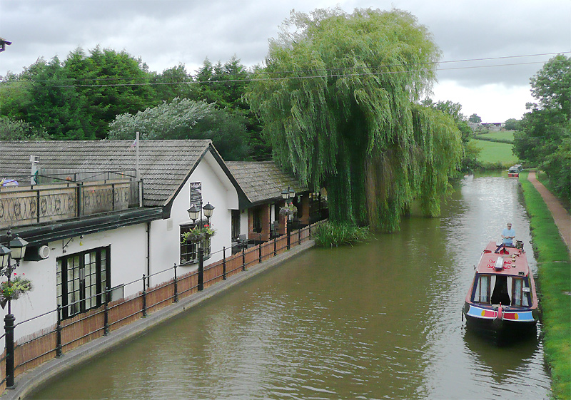
The walk starts on the bridge at Upper Gambolds where there is limited car parking. You then follow the canal towpath west along the Tardebigge Flight. The site is home to the longest flight of locks in the UK, comprising 30 narrow locks on a 2.25 mile (3.6 km) stretch along the canal. Follow the towpath along the structure to Stoke Pound where there is a nice canalside pub for refreshments.
The walk then heads south into the countryside towards Woodgate and Bentley Common. You then turn north and head towards Patchetts Farm before coming to Tardebigge Reservoir. Here you pick up the canal again and head west to return to the parking area.
To extend your walking in the area you can head south along the canal towards Droitwich Spa. Heading in the other direction will take you to Alvenchurch and the pretty Bittell Reservoirs where there are good bird watching opportunities.
A few miles to the north you can visit Lickey Hills Country Park where there are great views over the area.
The Monarch's Way long distance trail runs just to the north of the canal. You can pick this up and follow it to Redditch or Bromsgrove which are both nearby.
Postcode
B60 1NS - Please note: Postcode may be approximate for some rural locationsTardebigge Locks Ordnance Survey Map  - view and print off detailed OS map
Tardebigge Locks Open Street Map  - view and print off detailed map
Tardebigge Locks OS Map  - Mobile GPS OS Map with Location tracking
Tardebigge Locks Open Street Map  - Mobile GPS Map with Location tracking
Pubs/Cafes
In Stoke Pound you could enjoy a pit stop at the canalside Queens Head. There's a charming interior including Victorian floor tiles with beaten copper and the natural textures of wood and stone. Outside there is an attractive landscaped garden with a tepee which can be booked for private parties. You can find them at postcode B60 3AU for your sat navs. The inn includes car parking and is also dog friendly.
Further Information and Other Local Ideas
Head north along the canal and you could visit the worthy village of Alvechurch. The historic settlement includes a 13th century church, several medieval half-timbered buildings and a rather fine canalside pub.


