Tay Forest Park Walks
![]()
![]() This circular walk explores the Tay Forest Park near Dunkeld.
This circular walk explores the Tay Forest Park near Dunkeld.
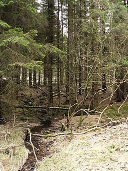
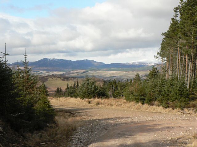
You can start the walk from The Hermitage Woodland car park. In this area you can enjoy splendid Douglas fir trees, the spectacular Black Linn Falls and views of the River Braan. The route then heads north to explore miles of woodland paths in the Craigvinean Forest. On the way there's pretty forest burns and some splendid viewpoints with views towards nearby Ben Vrackie. Much of the route is also suitable for cyclists.
Scroll down for a list of walks in and around the Tay Forest Park.
Please click here for more information
Tay Forest Park Ordnance Survey Map  - view and print off detailed OS map
Tay Forest Park Open Street Map  - view and print off detailed map
Tay Forest Park OS Map  - Mobile GPS OS Map with Location tracking
Tay Forest Park Open Street Map  - Mobile GPS Map with Location tracking
Walks near Tay Forest Park
- The Hermitage Woodland Walk Dunkeld - A popular circular walk around the delightful Hermitage Woodland to the west of Dunkeld
- Loch of the Lowes - This beautiful loch near Dunkeld is also a wildlife reserve, run by the Scottish Wildlife Trust
- Loch Clunie - This walk visits Loch Clunie near Blairgowrie in Perth and Kinross.
- Loch Ordie - This walk follows trails around the beautiful Loch Ordie in the Forest of Clunie, Dunkeld.
- Loch Freuchie - This walk visits Loch Freuchie in Glen Quaich in Perth and Kinross.
- Ben Vrackie - Climb to the summit of Ben Vrackie on this challenging walk in Pitlochry.
Start the walk from the car park just to the north of the town near Moulin - Loch Tummel - Visit Queen's View for one of the best views in Britain on this short walk in Perthshire, Scotland
- Falls of Bruar - This walk takes you through a lovely wooded gorge to the Falls of Bruar in Perthshire
- Linn Of Tummel - This walk visits the National Trust's Linn Of Tummel near Pitlochry in Perthshire.
Further Information and Other Local Ideas
The climb to Birnam Hill can be found just south of Dunkeld. There are some excellent views from this fine vantage point. Heading east along the river from the town will take you to the famous Birnam Oak, an ancient tree mentioned in Shakespeare’s Macbeth.
Photos
Mighty Douglas Fir. Apparently Britains tallest tree at 64.6m or 212ft, a Douglas Fir planted in the 1860's. (Though there seem to be about 4 separate claimants for Britains tallest tree!) Just one of the many fine old Douglas Firs and Larches amongst others at the River Braan near Dunkeld planted by the Dukes of Atholl.
March sunshine in Craigvinean Forest. Looking north east along an old boundary wall, which matches up with the 1940s plantation boundary.


