Tewitfield Canal Locks Walk
![]()
![]() A circular walk visiting the picturesque Tewitfield Canal Locks on the Lancaster Canal. It's quite an open section of the canal so there are fine views to the surrounding countryside to enjoy on the way.
A circular walk visiting the picturesque Tewitfield Canal Locks on the Lancaster Canal. It's quite an open section of the canal so there are fine views to the surrounding countryside to enjoy on the way.
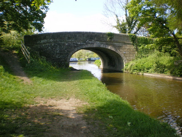
Start the walk from the car park located next to the canal at Tewitfield. From here you can pick up the towpath and follow it north to visit the pretty series locks where there's also a number of weirs.
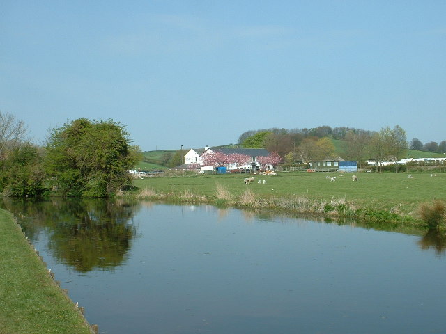
You can then follow country lanes to the Greenlands Farm Village where there's an open farm, a shop and a cafe to visit. After passing the farm village return to the canal near the Tewitfield Marina where there are a number of boats and some stylish modern apartments. From here it is a short walk back to the car park.
Postcode
LA6 1JH - Please note: Postcode may be approximate for some rural locationsTewitfield Canal Locks Walk Ordnance Survey Map  - view and print off detailed OS map
Tewitfield Canal Locks Walk Open Street Map  - view and print off detailed map
Tewitfield Canal Locks Walk OS Map  - Mobile GPS OS Map with Location tracking
Tewitfield Canal Locks Walk Open Street Map  - Mobile GPS Map with Location tracking
Pubs/Cafes
On the walk stop off at the Wellies Cafe in the Greenlands Farm Village. Here you can enjoy locally-sourced home cooked fayre in the artisan village where there's also a number of fine shops to browse. You can find it just north of the marina at postcode LA6 1GN for your sat navs.
Further Information and Other Local Ideas
Continue south along the canal and you can pick up the Carnforth Canal Walk and head to Bolton-le-Sands.
For more walking ideas in the area see the Lancashire Walks page.
Cycle Routes and Walking Routes Nearby
Photos
Tewitfield Locks. This section of the Lancaster Canal is no longer navigable from the south, largely due to the fact that at this point the canal was blocked off by a new road when the M6 (visible to the left of the picture) was constructed in the 1960s. There are eight locks in total and although they no longer have gates, they are in remarkably fine condition. Picture taken looking north from SD51915 73967.
Tewitfield Basin, Lancaster Canal. This is the current end of the navigable part of the Lancaster Canal. When the M6 motorway [visible in the background] was constructed, the engineers saved cost by running the canal through small culverts rather than build bridges - there was no commercial and very little leisure traffic in the 1960s. There is now a project, costing many millions, to re-open the canal through to Kendal.


