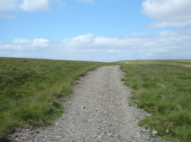
The Calf from Sedbergh
![]()
![]() Climb to the highest top in the Howgills on this challenging walk from Sedbergh. The walk follows a section of the Dales High Way long distance trail so takes place on good paths. It's about a 3.5 mile hike heading north from the town centre.
Climb to the highest top in the Howgills on this challenging walk from Sedbergh. The walk follows a section of the Dales High Way long distance trail so takes place on good paths. It's about a 3.5 mile hike heading north from the town centre.
Starting in the eastern part of the town follow Castleshaw Lane north from where it meets with Main Street. This will lead you to a footpath along the pretty Settlebeck Gill towards Arant Haw Fell.
The path continues to climb past Rowantree Gains Fold and Calders Fell before coming to the summit of The Calf. From the 676 m (2,218 ft) summit there are fabulous views of the Lakeland peaks, the Yorkshire Three Peaks and many of the nearer Howgill Fells.
At the summit you have the option of heading east and visiting Cautley Spout waterfall and then descending south east along Cautley Beck towards Low Haygarth. Around here you can pick up the Pennine Journey trail and return to Sedbergh on this path. This turns the route into a longer circular walk.
If you'd like to extend your walking in the Sedbergh area you can try our circular walk which visits the River Rawthey and the River Dee.
The Dales Way long distance trail also passes through the town and is a great way to explore this lovely area of the Yorkshire Dales.
The Calf from Sedbergh Ordnance Survey Map  - view and print off detailed OS map
The Calf from Sedbergh Open Street Map  - view and print off detailed map
The Calf from Sedbergh OS Map  - Mobile GPS OS Map with Location tracking
The Calf from Sedbergh Open Street Map  - Mobile GPS Map with Location tracking
Further Information and Other Local Ideas
If you head a few miles south of Sedbergh you can explore the superb limestone pavement at Hutton Roof Crags and Farleton Fell. Near here there's the remote and pretty village of Barbon where you can try the Barbon Beck Barbondale Walk. The little village includes a noteworthy 17th century pub as well.
For more walking ideas in the area see the Howgills Walks page.


