Thornley Woods
![]()
![]() This walk takes you around Thornley Woods in Rowlands Gill near Gateshead.
This walk takes you around Thornley Woods in Rowlands Gill near Gateshead.
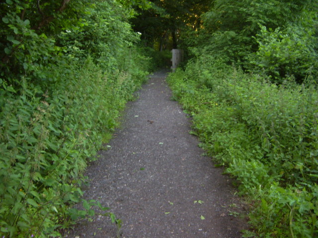
The peaceful site has a number of woodland paths and a sculpture trail with a fine carved otter and a red kite. The area is also good for bird watching with great spotted woodpecker, nuthatch, and sparrow hawks to look out for.
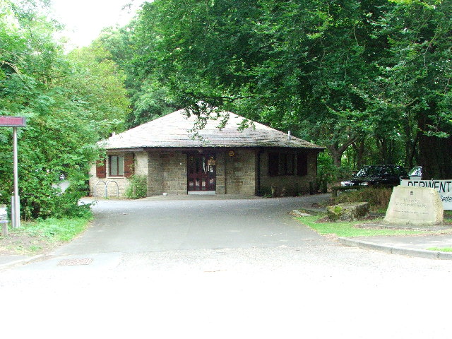
The park includes a visitor centre with lots of information and an associated car park where you can start the walk.
On the way there's nice views of the Thornley Burn with foxgloves and honeysuckle in bloom in the warmer months.
Postcode
NE39 1AU - Please note: Postcode may be approximate for some rural locationsThornley Woods Ordnance Survey Map  - view and print off detailed OS map
Thornley Woods Open Street Map  - view and print off detailed map
*New* - Walks and Cycle Routes Near Me Map - Waymarked Routes and Mountain Bike Trails>>
Thornley Woods OS Map  - Mobile GPS OS Map with Location tracking
Thornley Woods Open Street Map  - Mobile GPS Map with Location tracking
Pubs/Cafes
The woods include a decent on site cafe which sells a good range of meals and snacks. There is indoor and outdoor seating if the weather is fine.
If you fancy a pub lunch then the Red Kite is located in Winlanton Mill, a short stroll east from the woods. They serve good quality dishes and have a nice garden area with views of the woods and countryside. You can find them at Spa Well Road, Winlaton Mill, NE21 6RU. They have a car park and a restaurant area.
Dog Walking
The woodland trails in the park are ideal for dog walking so you're bound to see other owners on a fine day. The cafe and the pub mentioned above are also dog friendly.
Further Information and Other Local Ideas
The woods are adjacent to the Derwent Walk Country Park where there are some nice riverside trails along the Derwent River. The waymarked Derwent Valley Walk also runs through the area. One option is to follow the path north towards Blaydon to visit the Shibdon Pond Nature Reserve where there are more bird watching opportunities.
Just to the south of the woods is the popular Gibside where there's an 18th century landscaped park to explore. Near here there's also Chopwell Wood. There's some fine walking paths and good mountain bike trails to be found here.
Head east and there's Watergate Forest Park to visit. The popular park is located on the site of the former Watergate colliery. It includes woodland trails, a roman fort, a pretty lake and wildflower meadows.
Cycle Routes and Walking Routes Nearby
Photos
Thornley Woodland Centre. Across the road from the centre is a hide were many species of birds can be seen. The centre itself houses many interesting displays and information about the area.
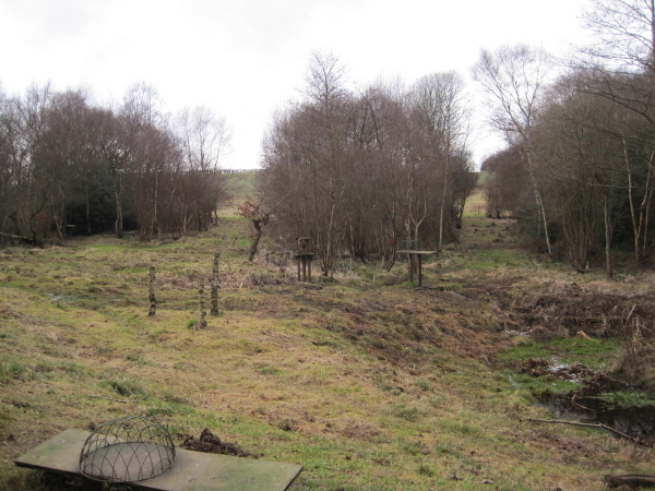
Pasture beside Lands Wood. A view of the countryside on the eastern side of the woods showing the adjacent Lands Wood. The ancient woodland site consists mainly of oak and birch alongside birch beech alder and rowan. Flora here includes bluebell and dog violet.


