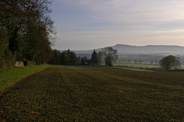
Titterstone Clee Hill
![]()
![]() This short climb visits a fine viewpoint in the Clee Hills. The conveniently located public car park makes it a short but rewarding climb with some excellent views to enjoy from the hill summit.
This short climb visits a fine viewpoint in the Clee Hills. The conveniently located public car park makes it a short but rewarding climb with some excellent views to enjoy from the hill summit.
You can start the walk from the car park directly the below the hill. From here you can pick up a footpath which snakes up to the hill top passing a former quarry and radar station on the way. It's about a half mile walk to the top, so a mile there and back. The summit stands at a height of 533 metres (1,749 ft) making it the third highest in Shropshire, behind Brown Clee Hill and Stiperstones.
Titterstone is well known for providing some of the best views over Britain when the conditions are right. On a clear day you can see Snowdonia, the Peak District, the Black Country, the Cotswolds, the Malvern Hills and the Brecon Beacons of Wales.
After taking in the views you descend back to the car park on the same paths.
Postcode
SY8 3NY - Please note: Postcode may be approximate for some rural locationsTitterstone Clee Hill Ordnance Survey Map  - view and print off detailed OS map
Titterstone Clee Hill Open Street Map  - view and print off detailed map
Titterstone Clee Hill OS Map  - Mobile GPS OS Map with Location tracking
Titterstone Clee Hill Open Street Map  - Mobile GPS Map with Location tracking
Pubs/Cafes
The little village of Cleehill is located just to the south of the hill. Here you could pay a visit to The Golden Cross. The friendly pub has an outdoor area with good views of the Teme Valley and Ludlow. It's located on the High Street at a postcode of SY8 3LZ for your sat navs. It's also dog friendly if you have your canine friend with you.
Further Information and Other Local Ideas
The Shropshire Way passes the hill providing an opportunity to further explore the Clee Hills on foot. Heading north will take you to Bromden and Brown Clee Hill, the highest point in Shropshire. Heading south along the waymarked trail will take you to Farden.
Cycle Routes and Walking Routes Nearby
Photos
The Clee Hills in southern Shropshire were a prolific source of iron, copper and limestone and the Ludlow & Clee Hill Railway was built to provide an outlet for large quarries east of Ludlow. A narrow gauge incline serving Titterstone Quarries also connected with this line at Bitterley and climbed NE for 1¼ miles to the incline top 1500ft asl on Titterstone Clee Hill where sidings fanned out to the crushing plant and quarry faces. The photo shows the incline passing over a long distance path 'The Shropshire Way.'


