Truleigh Hill
![]()
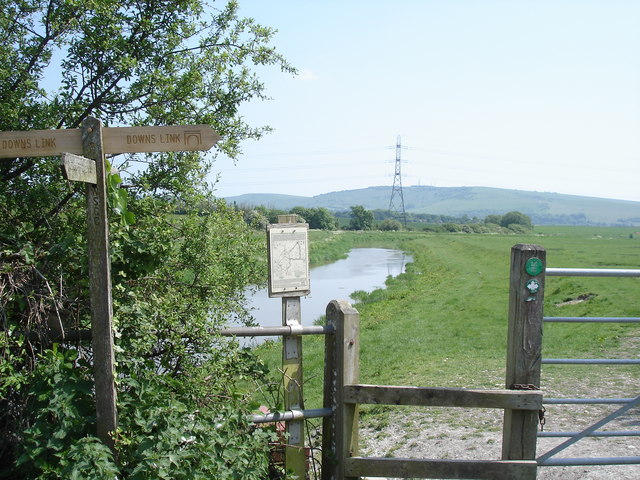
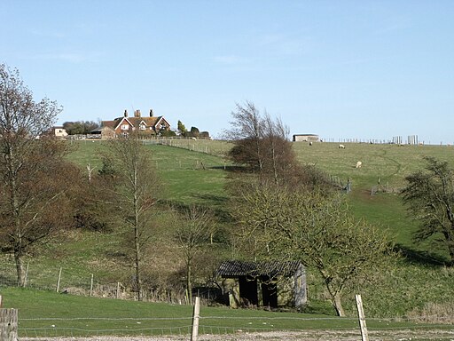
![]() This hill in West Sussex has a set of distinctive radio masts on the summit. You can park at a small parking area to the west of the hill and follow the South Downs Way past Beeding Hill to the top of Truleigh Hill. There's great views of the surrounding hills and countryside from the high points. You can turn it into a circular walk by following tracks across Bushy Bottom and then the Monarch's Way back to the car park.
This hill in West Sussex has a set of distinctive radio masts on the summit. You can park at a small parking area to the west of the hill and follow the South Downs Way past Beeding Hill to the top of Truleigh Hill. There's great views of the surrounding hills and countryside from the high points. You can turn it into a circular walk by following tracks across Bushy Bottom and then the Monarch's Way back to the car park.
You could also start the walk from nearby Upper Beeding or Bramley Castle if you prefer.
To extend your walk you can continue east along the South Downs Way to Edbarton Hill and then on to Devils Dyke. The beautiful V-Shaped Valley is a great place for walking and mountain biking.
You can use the google street view link below to follow this part of the trail.
Postcode
BN44 3TF - Please note: Postcode may be approximate for some rural locationsTruleigh Hill Ordnance Survey Map  - view and print off detailed OS map
Truleigh Hill Open Street Map  - view and print off detailed map
Truleigh Hill OS Map  - Mobile GPS OS Map with Location tracking
Truleigh Hill Open Street Map  - Mobile GPS Map with Location tracking
Explore the Area with Google Street View 
Further Information and Other Local Ideas
You could also start the walk from the nearby village of Fulking if you prefer. Following the South Downs Way west from the village will take you along the Fulking Escarpment to the hill. The Shepherd and Dog pub in the village has a car park making it a good alternative start point. See the Fulking Circular Walk for more details.
To continue your walking in the area see the South Downs Walks page.
Cycle Routes and Walking Routes Nearby
Photos
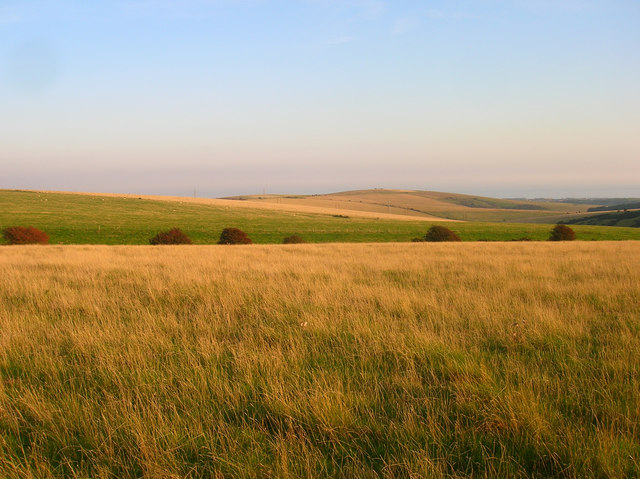
Truleigh Hill on a beautiful autumn day in 2008. Much of the northern escarpment is in this square though the actual peak and radio masts are in TQ2210. Taken from the footpath that links Small Dole to Fulking.


