Uckfield Walks
![]()
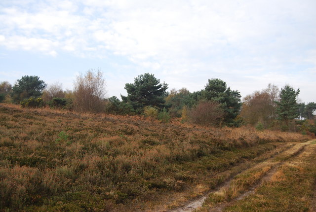
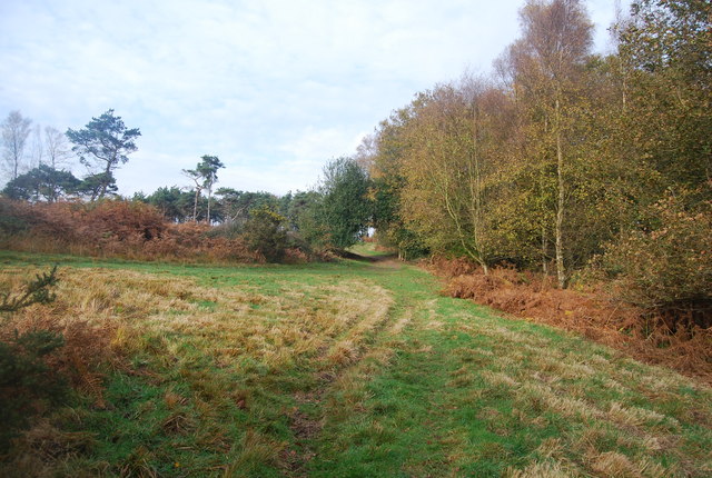
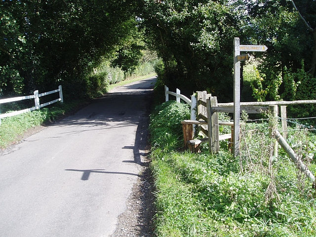
![]() The East Sussex based town of Uckfield has some fine walking trails to follow into the lovely countryside of the High Weald AONB. This long circular walk makes use of the Wealdway and Vanguard Way long distance footpaths to take you on a tour of the countryside, woodland and hills surrounding the town. You'll enjoy fine views from the high points and also pass through a section of the expansive Ashdown Forest.
The East Sussex based town of Uckfield has some fine walking trails to follow into the lovely countryside of the High Weald AONB. This long circular walk makes use of the Wealdway and Vanguard Way long distance footpaths to take you on a tour of the countryside, woodland and hills surrounding the town. You'll enjoy fine views from the high points and also pass through a section of the expansive Ashdown Forest.
The town is accessible by public transport on the Oxted Line which runs to Uckfield Railway Station.
The walk starts on the Wealdway which runs just past the eastern edge of the town. Follow the path north through Buxted Park to Furnace Wood before climbing to Camp Hill which stands at a height of nearly 200 metres. Shortly after you come to the Vanguard Way in Ashdown Forest which you can follow south east toward Poundgate.
The trail takes you past Newnham Park Wood to High Hurstwood before passing Buxted and Etchingwood. Soon after you come to the Wealdway which you can follow west back into Uckfield.
To extend the walk you could continue north into Ashdown Forest to visit Five Hundred Acre Wood. Hundred Acre Wood in the Winnie the Pooh stories is based on this area.
Uckfield Ordnance Survey Map  - view and print off detailed OS map
Uckfield Open Street Map  - view and print off detailed map
Uckfield OS Map  - Mobile GPS OS Map with Location tracking
Uckfield Open Street Map  - Mobile GPS Map with Location tracking
Pubs/Cafes
Just to the north of the town you'll find the village of Fairwarp in Ashdown Forest where you can stop for refreshments at the Foresters Arms (Postcode:TN22 3BP). The dog friendly pub has a nice beer garden and a wide selection of on tap beers.
Further Information and Other Local Ideas
The National Trust's Sheffield Park is located just a few miles to the north west of the town. There's some splendid 'Capability' Brown landscaped gardens with four delightful lakes to see in the expansive park. Sheffield Forest is located near the park and is another fine place for a walk.
For more walking ideas in the area see the High Weald Walks page.


