Ward's Stone Walk
![]()
![]() This walk climbs to Ward's Stone from the Jubilee Tower in the Forest of Bowland AONB. Ward's Stone is notable as the highest hill in the AONB.
This walk climbs to Ward's Stone from the Jubilee Tower in the Forest of Bowland AONB. Ward's Stone is notable as the highest hill in the AONB.
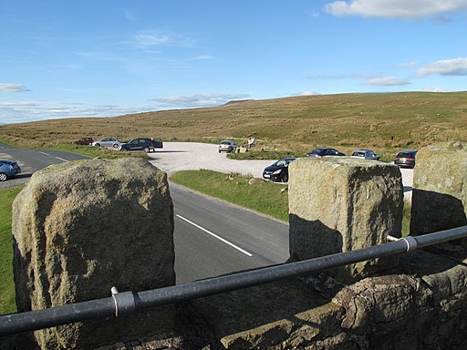
You can start your walk from the public parking area at the Jubilee Tower which lies just to the south west of the stone. The historic stone tower provides some excellent views over Lancaster Bay to the Lake district Mountains. From here you follow a path north east to climb Grit Fell.
The trail then heads east across Cabin Flat to the summit of Ward's Stone, standing at a height of 561 metres. The stone is quite substantial and often used by rock climbers. From here there are some excellent views over the expansive moorland of the Forest of Bowland.
The area is also of ecological importance, providing a habitat for various wildlife species, including birds of prey such as peregrine falcons and golden plovers.
The walk can easily be extended by heading east to visit Wolfhole Crag and the waterfalls around the pretty Tarnbrook Wyre. Heading north west will take you to Clougha Pike.


