Wolfhole Crag Walk
![]()
![]() This walk takes you to the Tarnbrook Waterfalls and Wolfhole Crag in the Forest of Bowland AONB.
This walk takes you to the Tarnbrook Waterfalls and Wolfhole Crag in the Forest of Bowland AONB.
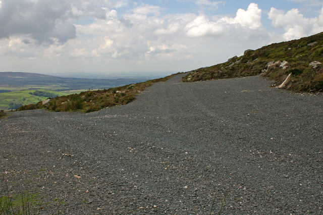
It's a remote and very beautiful area with streams, waterfalls and wonderful views from the 527 metre summit of the fell.
The walk starts from the Stoops Bridge car park in the little village of Abbeystead. From here you follow footpaths and country lanes along the Tarnbrook Wyre to Lower Lee and Tarnbrook. Here you pick up footpaths taking you north east across Tarnbrook Fell to a series of pretty waterfalls and weirs.
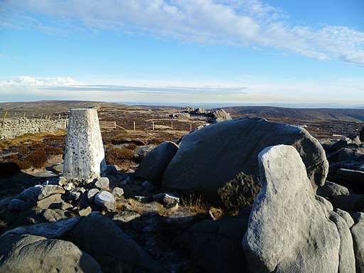
You continue to Brown Syke where you turn east to follow a path to Wolfhole Crag. At the peak, you will find tall buttresses of gritstone, standing at a height of 10 meters. Among them are some uniquely shaped rocks that reach waist height, along with the customary trig point. These buttresses are home to several documented rock climbing routes, including the two most distant "hard grit" routes (E7 and E6) from the road in the entire United Kingdom.
You can extend the walk by heading west to visit Ward's Stone, the highest hill in the Forest of Bowland. Near here there's also the popular climb to Clougha Pike.
Wolfhole Crag Ordnance Survey Map  - view and print off detailed OS map
Wolfhole Crag Open Street Map  - view and print off detailed map
*New* - Walks and Cycle Routes Near Me Map - Waymarked Routes and Mountain Bike Trails>>
Wolfhole Crag OS Map  - Mobile GPS OS Map with Location tracking
Wolfhole Crag Open Street Map  - Mobile GPS Map with Location tracking
Further Information and Other Local Ideas
To continue your walking in the area you could try the circular walk around the pretty Abbeystead Reservoir. It's an easy waterside trail with some lovely views across the water.
For more walking ideas in the area see the Forest of Bowland Walks page.


