Walk around Wedmore
![]()
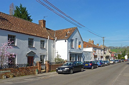
![]() This pretty village is located in a lovely spot on the Somerset Levels. It's close to walking trails along the River Axe and River Brue, with the Mendip Hills and the wildlife rich Avalon Marshes also not far away.
This pretty village is located in a lovely spot on the Somerset Levels. It's close to walking trails along the River Axe and River Brue, with the Mendip Hills and the wildlife rich Avalon Marshes also not far away.
This walk from Wedmore heads north to visit two of the walking highlights of the county at Cheddar Reservoir and Cheddar Gorge.
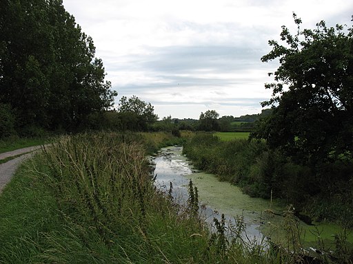
The walk starts in the village and heads east on public footpaths across Wedmore Moor to the River Axe. You then head north along the river, passing Cocklake and Clewer Bridge. You continue along the Broadmoor Drove before coming to Puddleham Corner at Brinscombe. The route then turns east along the Stubbington Drove to Cheddar Reservoir which lies in between the settlements of Axbridge and Cheddar. Follow the trail east and it will take you through Cheddar to the wonderful Cheddar Gorge. The geoligcally fascinating area is a great place for walks and taking spectacular photos. After exploring the area you can then catch a bus back to Wedmore.
Postcode
BS28 4EQ - Please note: Postcode may be approximate for some rural locationsWedmore Ordnance Survey Map  - view and print off detailed OS map
Wedmore Open Street Map  - view and print off detailed map
*New* - Walks and Cycle Routes Near Me Map - Waymarked Routes and Mountain Bike Trails>>
Wedmore OS Map  - Mobile GPS OS Map with Location tracking
Wedmore Open Street Map  - Mobile GPS Map with Location tracking
Pubs/Cafes
Back in the village you can enjoy rest and refreshment at The Swan. The historic pub dates back to the early 1700s and serves high quality food. You can sit outside on the terrace or in the lovely garden if the weather is favourable. You can find them on Cheddar Road at postcode BS28 4EQ for your sat navs.
Further Information and Other Local Ideas
Near the route you could take a small detour to explore Axbridge. The historic town includes a medieval town square, several half timbered buildings, an early 1600s pub and the Tudor King John's Hunting Lodge which houses a fine local museum.
Head south of the village and you can visit Westhay Moor Nature Reserve. The reserve is part of wider Avalon Marshes and includes a series of footpaths running around a number of pretty lakes. The area is great for bird watching with a variety of wetland birds visiting site.
Head east and you could visit the village of Priddy and enjoy a walk to the mysterious Wookey Hole and the wonderful Ebbor Gorge where you'll find some splendid limestone caverns.
Cycle Routes and Walking Routes Nearby
Photos
Cheddar Reservoir from the top of Wavering Down, Somerset


