Widecombe in the Moor Walks
![]()
![]() This pretty village on Dartmoor has some lovely walks along the East Webburn River and challenging climbs to the surrounding Tors.
This pretty village on Dartmoor has some lovely walks along the East Webburn River and challenging climbs to the surrounding Tors.
This 6.5 mile circular walk makes us of the Two Moors Way long distance trail to take you along the river and up to the prominent, Hameldown Tor.
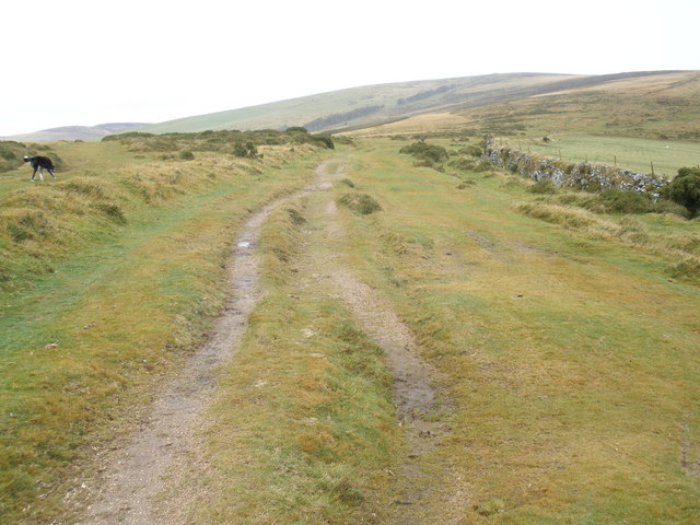
The walk starts in the village centre car park, next to the noteworthy Church of Saint Pancras. The 14th century church has received the nickname 'Cathedral of the Moor' because of its 120-foot tower and relatively large capacity for such a small village. From here you can pick up the waymarked trail to take you past the pretty village green before turning north. The trail then runs parallel to the East Webburn River, passing Honeybag Tor and Natsworthy Manor. Here you turn west to climb to Hameldown Tor, which stands at a height of 529 metres (1735 feet). From here it is a short walk north to the fascinating Bronze Age site of Grimspound. The site consists of a set of 24 hut circles surrounded by a low stone wall and was first settled in about 1300 BC. The area is very photogenic with ruined huts and surviving stone entrances, backed by some beautiful Dartmoor scenery.
The route then turns south and descends to Hameldown Beacon before returning to the village. There's some lovely countryside views as you bend round to the east and finish back at the car park.
To continue your walking in the area head east to visit Haytor, one of the major highlights of the National Park. The distinctive granite outcrop is visible on the skyline from many places in south Devon between Exeter and Totnes. From the 457 metres (1,499 ft) summit there's a wonderful view to the Devon coastline, the Teign Estuary and the rolling countryside between.
Widecombe in the Moor Ordnance Survey Map  - view and print off detailed OS map
Widecombe in the Moor Open Street Map  - view and print off detailed map
*New* - Walks and Cycle Routes Near Me Map - Waymarked Routes and Mountain Bike Trails>>
Widecombe in the Moor OS Map  - Mobile GPS OS Map with Location tracking
Widecombe in the Moor Open Street Map  - Mobile GPS Map with Location tracking
Further Information and Other Local Ideas
To the south east there's the worthy climb to Buckland Beacon. The beacon is well known for its Ten Commandments Stones and its excellent views over the Dart Valley.


