Wivenhoe to Brightlingsea Walk
![]()
![]() This walk takes you along the river Colne from Wivenhoe to Brightlingsea.
This walk takes you along the river Colne from Wivenhoe to Brightlingsea.
The route runs for just under 6 miles along the pleasant riverside path. On the way you will pass an old dismantled railway, Little Wapping Hill, Alresford Creek and the village of Alresford. At the creek there are nice views over to the Fingringhoe Wick Nature Reserve on the opposite side of the river.
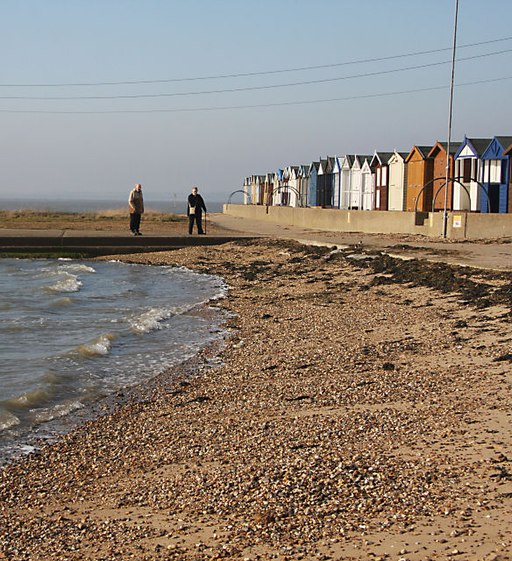
The final stretch takes you past Bateman's Tower and Westmarsh Point on the Brightlingsea coast. The 19th century tower is located at the entrance to Brightlingsea Creek and includes a nice beach. Near here you'll also find some lovely scenery and wildlife around Brightlingsea Marsh in the Colne Estuary National Nature Reserve.
You can head in the other direction along the river by picking up the Wivenhoe Trail. This shared cycling and walking trail will take you north to Colchester.
Wivenhoe to Brightlingsea Ordnance Survey Map  - view and print off detailed OS map
Wivenhoe to Brightlingsea Open Street Map  - view and print off detailed map
Wivenhoe to Brightlingsea OS Map  - Mobile GPS OS Map with Location tracking
Wivenhoe to Brightlingsea Open Street Map  - Mobile GPS Map with Location tracking
Cycle Routes and Walking Routes Nearby
Photos
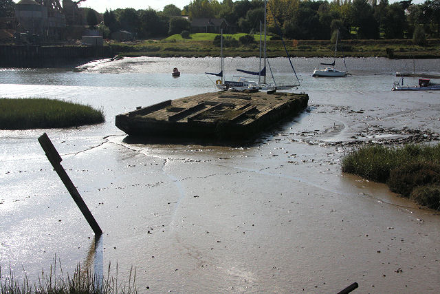
Old boats at Alresford Creek. These boats lie on the north bank of the creek, close to the derelict sand jetty.
Alresford Creek saltings. The wooden posts mark the roadway that leads to the former ford across the creek. Although shown as a public footpath on the OS map, the creek can only be crossed at low water springs, wearing the appropriate footwear, as the mud is very deep and clingy. In the distance is All Saints Church, Brightlingsea, which stands well away from the town.
Ghost of The Crab and Winkle Line. The sea wall here follows the exact path of the embankment of the “Crab and Winkle Line” that ran from St Botolphs (Now Colchester Town) Station to Brightlingsea via Wivenhoe. I am told that children before WW2 used to love the ride across the wooden viaduct at Alresford Creek it used to flex and groan under the weight of the train they were all convinced it would collapse causing great excitement. The Railway Tavern brew pub in Brightlingsea celebrate the old railway with their 3.7% ABV Crab and Winkle Mild made without finings. The Crab and Winkle Line missed its centenary by a couple of years by closing in 1964. This section of the line is now a public footpath
Brightlingsea Marsh. This is the footpath to Alresford Creek that follows the old railway line. The pasture to the right is Brightlingsea Marsh part of the Colne Estuary National Nature Reserve.


