Wolferton Walks
![]()
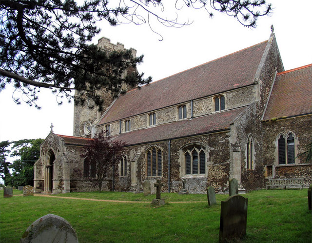
![]() This historic North Norfolk village includes a noteworthy old Royal rail station and a 13th century church. For walkers there's some nice trails in the adjacent woodland and bogland with the Royal residence of Sandringham House also nearby.
This historic North Norfolk village includes a noteworthy old Royal rail station and a 13th century church. For walkers there's some nice trails in the adjacent woodland and bogland with the Royal residence of Sandringham House also nearby.
This circular walk takes you to the nature reserve at Dersingham Bog and Wolferton Fen located to the east of the settlement. There's some nice nature trails here with woodland and lots of wildlife to see.
The walk starts in the village where you can visit Wolferton Railway Station. The now disused station was well known during the 1800’s through its association with the Royal Family who used the station because of its proximity to Sandringham House. Today there's a museum with lots of nostalgic memorabilia to admire.
From the station you can head south east to pick up the trails exploring Sandringham Warren and the Dersingham Bogs. There's boardwalks here to follow over the bog which is designated as a Site of Special Scientific Interest (SSSI).
You can extend the walk by heading east into the adjacent Sandringham Country Park where there are waymarked trails to follow around the expansive parkland.
Postcode
PE31 6HA - Please note: Postcode may be approximate for some rural locationsWolferton Ordnance Survey Map  - view and print off detailed OS map
Wolferton Open Street Map  - view and print off detailed map
Wolferton OS Map  - Mobile GPS OS Map with Location tracking
Wolferton Open Street Map  - Mobile GPS Map with Location tracking
Pubs/Cafes
Head into nearby Dersingham village and you'll find the Coach & Horses pub. They serve good quality food and have a nice garden area to relax in on warmer days. You can find them at 77 Manor Rd, PE31 6LN.
Dog Walking
The woodland and bog are a nice place for a dog walk. You are advised to keep them in leads around the bog.
Further Information and Other Local Ideas
Just to the north you'll find Snettisham where there's a splendid coastal nature reserve with lots of wildlife to see.
The village is located close to the major town of King's Lynn where you can try the King's Lynn and The Walks route. This visits a fine urban park before a riverside stroll along the Great Ouse. Near here you can also visit Bawsey Country Park. There's good trails here to follow around around birch covered hills and a Scandinavian style lake. The purple heather and Dartmoor ponies on Roydon Common are also in this area.
For more interesting local history head a couple of miles north to visit Castle Rising. Here you'll find the ruins of an English Heritage owned castle surrounded by impressive earthworks. The pretty little village of the same name is also well worth exploring.
For more walking ideas in the area see the Norfolk Walks page.
Cycle Routes and Walking Routes Nearby
Photos
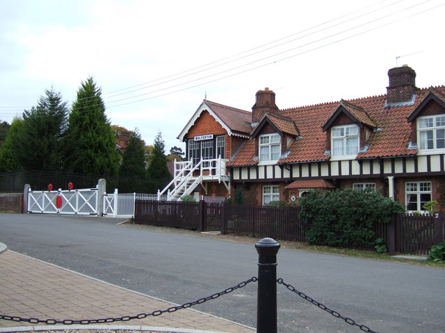
Wolferton Railway Station (disused), Norfolk. †The station was used by the royal family on visits to Sandringham. It has been preserved with this in mind in the style of the glory days of the monarchy before the First World War.
It was opened in 1862 after†Queen Victoria†had purchased the site of†Sandringham House†as a Norfolk retreat. The station contained a set of elegant reception rooms, where several generations of the royal family and their visitors would wait for transportation to Sandringham House which lies a couple of miles to the east.
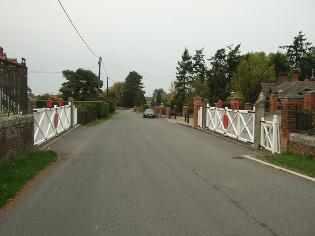
Former level crossing, Royal Station. The station brought royal trains to the Sandringham Estate until it was closed in 1969 (the last royal train to call at the station was in 1966). It was reconstructed in 1898 at a cost of £8,132 including the royal waiting rooms on the down platform. The company was grouped into the London and North Eastern Railway in 1923 until nationalisation on 1 January 1948 when split into the new British Railways' Eastern Region, North Eastern Region, and partially the Scottish Region. Wolferton was sold by British Rail to railwayman Eric Walker. He reopened the royal waiting room in 1970 as a museum until his death in 1985. In 2001, the station was sold to railway enthusiast Richard Brown who has undertaken significant restorations and returned much of Wolferton to its former glory and today (2017) visitors can still explore the platforms and other selected areas.


