Woodhenge to Stonehenge Walk
![]()
![]() This circular walk takes you from the car park at Woodhenge to the world famous Stonehenge. It's about a 2.5 mile walk to the site on a series of fairly flat footpaths. On the way you'll pass other interesting historical sites with fine views across Salisbury Plain.
This circular walk takes you from the car park at Woodhenge to the world famous Stonehenge. It's about a 2.5 mile walk to the site on a series of fairly flat footpaths. On the way you'll pass other interesting historical sites with fine views across Salisbury Plain.
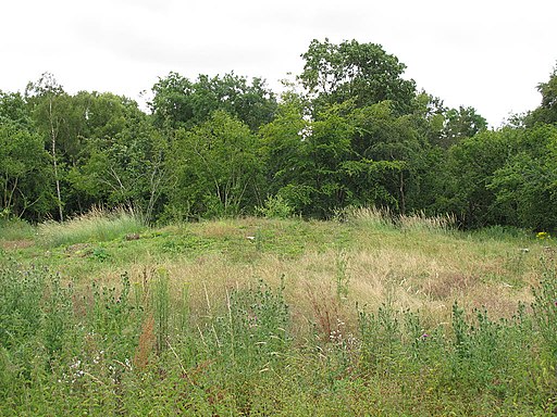
The walk starts from the Woodhenge car park, located between Amesbury and Durrington. Just to the north of here you can visit Durrington Walls. Here you'll find the largest complete henge in Great Britain at over 4500 years old.
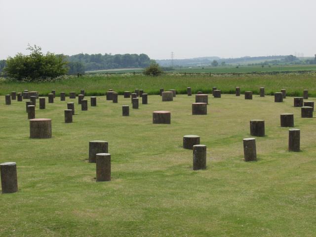
Just to the west of the car park you'll find the fascinating Woodhenge. The timber circle monument dates from the Neolithic period with pottery found from that period after an excavation in 1926. Construction of the timber monument was probably earlier, but the ditch has been dated to between 2470 and 2000 BC, which would be about the same time as the construction of the stone circle at Stonehenge.
From the henge you head west and then south past Old King Barrows before passing along The Avenue to reach Stonehenge. The Avenue is a 1.5 mile long bank and ditch earthwork thought to be the ceremonial route and entrance to the stone circle. You can then explore the Stonehenge site itself for a fee payable to English Heritage.
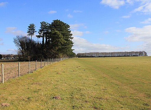
From the stones you head north to visit the Stonehenge Cursus. This large Neolithic cursus monument was constructed several hundred years before the earliest phase of Stonehenge in 3000 BC. You can explore this area for free before following footpaths east back to the car park.
Postcode
SP4 7AR - Please note: Postcode may be approximate for some rural locationsWoodhenge to Stonehenge Walk Ordnance Survey Map  - view and print off detailed OS map
Woodhenge to Stonehenge Walk Open Street Map  - view and print off detailed map
Woodhenge to Stonehenge Walk OS Map  - Mobile GPS OS Map with Location tracking
Woodhenge to Stonehenge Walk Open Street Map  - Mobile GPS Map with Location tracking
Pubs/Cafes
There's lots of good options in nearby Amesbury and Durrington for refreshments but we'd recommend a trip down to the nearby village of Upper Woodford. Here you'll find the splendid Bridge Inn. The main attraction here is the lovely, large riverside garden area where you can relax and enjoy refreshments in an idyllic setting. Indoors there's a nice light country-style decor with sofas. They also have a very good menu and drinks selection. You can find the inn a couple of miles south of Stonehenge, in Upper Woodford, right next to the River Avon. Postcode for your sat navs is SP4 6NU.
Further Information and Other Local Ideas
Woddhenge Detail:
There are theories suggesting that these sites might be components of a larger design, where the structures were interconnected by roads, integrating the natural landscape of the River Avon. One such pathway, known as Stonehenge Avenue, is characterised by broad parallel banks and ditches. It traverses the ridge between two sites, which might otherwise allow mutual visibility, potentially linking them both physically and in a spiritual context.
There's a theory that the preference for wood over stone in construction might have symbolised a significant transition between life and death in the beliefs and rituals of the time, potentially delineating the two sites into distinct "domains".
This idea gains support from discoveries at Woodhenge, where bones of butchered pigs, indicative of feasting activities, were found. This contrasts with Stonehenge, which is seen as a place inhabited only by ancestral spirits, not the living.
Similar interpretations of these representations have been observed in ritualistic megalithic sites on the island of Madagascar, approximately 4,000 years after Woodhenge was erected.


