Amesbury River Walk
![]()
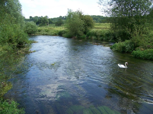
![]() Enjoy a stroll along the River Avon on this peaceful waterside walk in Amesbury. The circular walk starts from the car park just south of the town centre, near Amesbury Abbey. You can then pick up public footpaths along the river towards Normanton before returning through fields to the car park.
Enjoy a stroll along the River Avon on this peaceful waterside walk in Amesbury. The circular walk starts from the car park just south of the town centre, near Amesbury Abbey. You can then pick up public footpaths along the river towards Normanton before returning through fields to the car park.
To extend the walk try our longer Woodford Valley route. This 8 mile walk takes you to the lovely village of Great Durnford with its riverside mill and picture postcard thatched cottages.
The famous Stonehenge is only about a couple of miles west so you could easily walk there from Amesbury. See the Amesbury to Stonehenge walk for full details.
Also nearby is Durrington Walls and Woodhenge. You could park at the public car park there and walk down to the stones on an alternative route. See the Woodhenge to Stonehenge Walk for more details.
The long distance Salisbury Country Way passes Amesbury so this is another good option for extending your walk.
Amesbury River Walk Ordnance Survey Map  - view and print off detailed OS map
Amesbury River Walk Open Street Map  - view and print off detailed map
Amesbury River Walk OS Map  - Mobile GPS OS Map with Location tracking
Amesbury River Walk Open Street Map  - Mobile GPS Map with Location tracking
Walks near Amesbury
- Woodford Valley - Enjoy riverside trails, rolling Wiltshire countryside and views of Stonehenge on this circular walk through the beautiful Woodford Valley.
- Stonehenge - This circular walk visits the countryside and woodland around this famous historical site
- Salisbury Country Way - A super circular walk through the countryside around Salisbury
- Amesbury to Stonehenge - This walk takes you from the town of Amesbury to the world famous Stonehenge
- Durrington Walls - This walk explores the large Neolithic settlement and henge enclosure of Durrington Walls near Amesbury, Wiltshire
- Wylye Way - Follow the River Wylye through Wiltshire on this interesting and varied waterside walk
- Grovely Wood - Enjoy cycling and walking trails in this large area of woodland near the Wiltshire village of Great Wishford.
- Salisbury to Stonehenge Walk - This walk takes you from the city centre of Salisbury to the iconic Stonehenge
- Woodhenge to Stonehenge Walk - This circular walk takes you from the car park at Woodhenge to the world famous Stonehenge
- Sarsen Way - This long distance trail runs through Wiltshire from Coate Water Country Park to Salisbury Cathedral, passing a series of fascinating ancient sites on the way.
Pubs/Cafes
There's lots of good options in nearby Amesbury and Durrington for refreshments but we'd recommend a trip down to the nearby village of Upper Woodford. Here you'll find the splendid Bridge Inn. The main attraction here is the lovely, large riverside garden area where you can relax and enjoy refreshments in an idyllic setting. Indoors there's a nice light country-style decor with sofas too. They also have a very good menu and drinks selection. You can find the inn a couple of miles south of Stonehenge, in Upper Woodford, right next to the River Avon. Postcode for your sat navs is SP4 6NU.
Further Information and Other Local Ideas
The Sarsen Way passes through the town. The long distance trail runs through Wiltshire from Coate Water Country Park in Swindon to Salisbury Cathedral. It passes many other fascinating ancient sites including Old Sarum Castle and the Alton Barnes White Horse on Milk Hill.
Photos
Avon bridge, Amesbury. As seen from the south side; bears a stone plaque "MDCCLXXV" (1775). To the left, modern tubular pedestrian/cyclists' bridge.
Amesbury is an attractive small town embraced by a loop of the River Avon as it cuts through the high plateau of Salisbury Plain.


