Wychbury Hill
![]()
![]() This walk climbs to the obelisk and hillfort on Wychbury Hill in the Clent Hills near Stourbridge.
This walk climbs to the obelisk and hillfort on Wychbury Hill in the Clent Hills near Stourbridge.
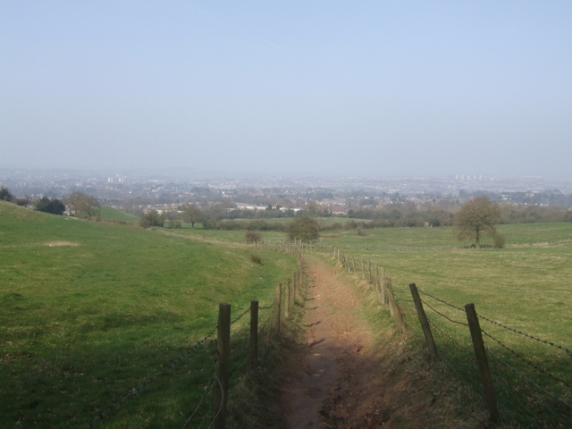
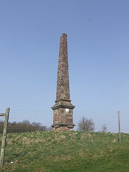
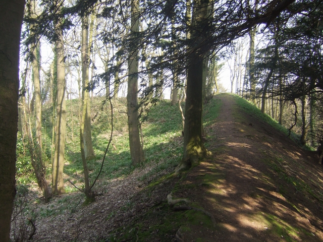
The walk starts on Pedmore Lane on the southern outskirts of Stourbridge. From here you can follow the Monarch's Way up to the hill top. Here you can enjoy fine views over the town below and further afield to the Severn Valley, the Malvern Hills and the Clee Hills. There's also the Wychbury Ring Iron Age hill fort which includes a 28-tree ancient yew grove. The Wychbury or Hagley Obelisk sits atop the hill and is something of a local landmark, being visible for miles around. The Grade II listed structure stands at a height of 84 feet (26 m). It was commissioned as a family memorial and completed in 1758 at the same time as Hagley Park was being redeveloped in the fashionable neoclassical style. You can follow a circular path around the hillfort before returning to Pedmore Lane.
Wychbury Hill Ordnance Survey Map  - view and print off detailed OS map
Wychbury Hill Open Street Map  - view and print off detailed map
Wychbury Hill OS Map  - Mobile GPS OS Map with Location tracking
Wychbury Hill Open Street Map  - Mobile GPS Map with Location tracking
Further Information and Other Local Ideas
Head south from the hill and you can extend your walking in the historic Hagley Park and the adjacent Clent Hills Country Park.
Uffmoor Wood is located just a couple of miles east of the hill. There's some nice peaceful woodland trails to follow here.
If you head north into Stourbridge you can pick up the Stourbridge Canal and enjoy a waterside stroll along to Hinksford.
For more walking ideas in the area see the Worcestershire Walks page.
Cycle Routes and Walking Routes Nearby
Photos
Monarch's Way on Wychbury Hill. The footpath climbs onto the edge of the Clent Hills to leave Worcestershire by dropping down into Stourbridge and entering briefly the urban West Midlands.
Temple of Theseus. This folly is located just south of the hill top. It is in the shape of a Greek Doric temple, in fact a miniature replica of the end of the Temple of Hephaestus in Athens. Built in 1758, it was England's first example of Neoclassical architecture. The temple is currently in a seriously dilapidated condition. It is a listed building on private land and permanently fenced off to the public.


