River Wylye Valley Walk
![]()
![]() Follow the River Wylye through Wiltshire on this interesting and varied waterside walk.
Follow the River Wylye through Wiltshire on this interesting and varied waterside walk.
You start at the splendid Stourhead - an 18th century landscaped garden owned by the National Trust.
The route then follows the river through a series of pretty riverside villages including Kingston Deverill, Monkton Deverill and Longbridge Deverill, before a wooded section through Southleigh Wood on the outskirts of Warminster.
The second section takes you through Heytesbury, Codford St Peter and Great Wishford to the finish point at the splendid Wilton House near Salisbury.
Wylye Way Ordnance Survey Map  - view and print off detailed OS map
Wylye Way Open Street Map  - view and print off detailed map
Wylye Way OS Map  - Mobile GPS OS Map with Location tracking
Wylye Way Open Street Map  - Mobile GPS Map with Location tracking
Pubs/Cafes
On the walk stop at The Spread Eagle Inn on the Stourhead Estate for some refreshments. The eighteenth-century inn offers lunches, snacks, evening meals, cakes, tea and coffee, as well as a great selection of wines, beers, and gins. There's also a nice outdoor seating area to relax in during the summer months. You can find the inn at Church Lawn on the estate with postcode BA12 6QE for your sat navs.
In Warminster there's the The George Inn at the village of Longbridge Deverill. The main attraction here is the lovely riverside garden, next to the Wylye. You can find it at postcode BA12 7DG.
Further Information and Other Local Ideas
For more walking ideas in the area see the Wiltshire Walks and the Cranborne Chase Walks pages.
Cycle Routes and Walking Routes Nearby
Photos
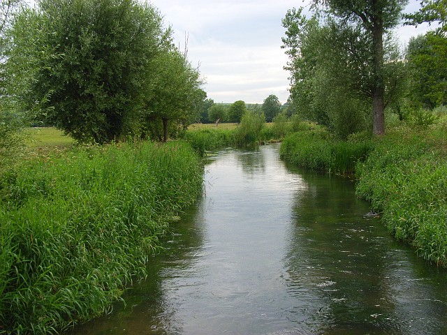
River Wylye, Heytesbury. The Wylye is generally regarded as the most notable of the Avon tributaries. It rises five miles south of Warminster and flows north to the town; this uppermost reach is sometimes referred to as 'The Deverill Brook'. Turning westward, it flows for another sixteen miles to join the Nadder just below Wilton, shortly before the latter reaches the Avon at Salisbury a mile or so further on. Looking upstream.
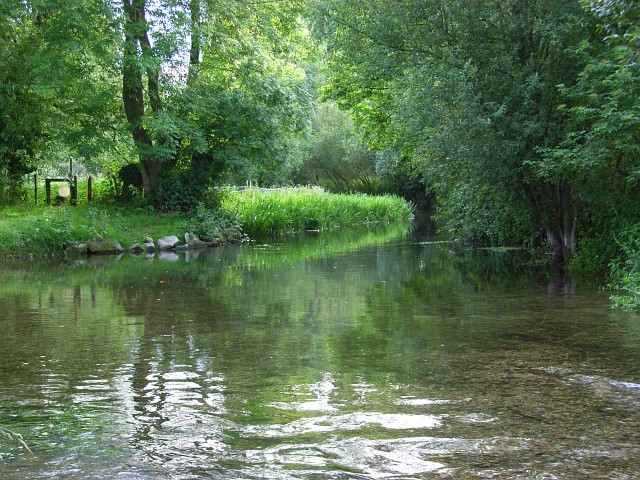
Looking upstream from the footbridge on the footpath near Ballington Manor, where it crosses the northern of the river's two channels.
Two dogs splashing around in the river at Kingston Deverill The river widens out at this point and it forms a pond like area in the village.


