Lagan Towpath Belfast Cycle and Walk
![]() This cycle and walking route follows the towpath of the River Lagan from Belfast to Lisburn along National Cycle Network routes 9 and 93. It's a nice surfaced path making it ideal for families or anyone looking for a safe traffic free ride.
This cycle and walking route follows the towpath of the River Lagan from Belfast to Lisburn along National Cycle Network routes 9 and 93. It's a nice surfaced path making it ideal for families or anyone looking for a safe traffic free ride.
You start off in the centre of Belfast and head south west passing Ormeau Park, Lady Dixon Park and Belvoir Park Forest before coming to the lovely Lagan Valley Regional Park. In this park there are a variety of habitats including wet meadows, ponds, mixed beech woodland and attractive parkland.
After leaving the city centre you continue through the beautiful Lagan Valley, passing the villages of Edenderry and Drumbeg before coming to the city of Lisburn.
This route finishes in Lisburn but if you want to extend your cycling you can continue west along National Cycle route 9 which will take you towards the Down Royal Racecourse and the villages of Halfpenny Gate and Broomhedge in County Antrim. The route eventually reaches the beautiful Lough Neagh.
Lagan Towpath Open Street Map  - view and print off detailed map
Lagan Towpath Open Street Map  - Mobile GPS Map with Location tracking
Explore the Area with Google Street View 
Cycle Routes and Walking Routes Nearby
Photos
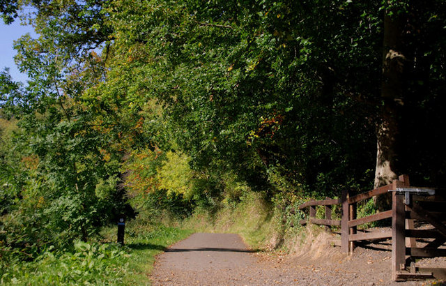
Small wooden bridge on the Lagan Towpath. The bridge is adjacent to what was lock no.2 (known as Mickey Taylors’ after one of the lock-keepers) on the disused Lagan Canal. There is a path on the far side which leads to Moreland's Meadow.


