Rabbit Ings Country Park
![]()
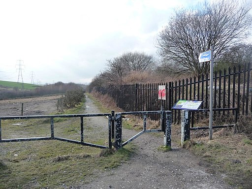
![]() Enjoy several miles of well designed walking and cycling paths in this lovely country park in Royston, Yorkshire. The 160 acre site includes several waymarked trails and a mountain bike trail. Habitats include wetland, woodland, grassland and ponds. Look out for roe deer, water voles and woodpeckers as you make your way through the park.
Enjoy several miles of well designed walking and cycling paths in this lovely country park in Royston, Yorkshire. The 160 acre site includes several waymarked trails and a mountain bike trail. Habitats include wetland, woodland, grassland and ponds. Look out for roe deer, water voles and woodpeckers as you make your way through the park.
The park is located a few miles north of Barnsley on the Trans Pennine Trail. The Barnsley Canal also runs past the site so you could pick this up to extend your exercise.
Postcode
S71 4BB - Please note: Postcode may be approximate for some rural locationsRabbit Ings Country Park Ordnance Survey Map  - view and print off detailed OS map
Rabbit Ings Country Park Open Street Map  - view and print off detailed map
Rabbit Ings Country Park OS Map  - Mobile GPS OS Map with Location tracking
Rabbit Ings Country Park Open Street Map  - Mobile GPS Map with Location tracking
Pubs/Cafes
In Royston you could pay a visit to the Ring O'bells. The friendly pub has a good menu and an outdoor seating area for warmer days. You can find it in the village with a postcode of S71 4NJ for your sat navs.
Further Information and Other Local Ideas
Head a couple of miles north of the park and you can visit one of the highlights of the area at Wintersett Reservoir. The lovely lake has a nice walking trail running along the western side of the water. Anglers Country Park is also located near the reservoir.
For more walking ideas in the county see the Yorkshire Walks page.


