Cerne Abbas Giant Walk
![]()
![]() This circular walk visits Giant Hill in Dorset where you will find the striking chalk hill figure of the Cerne Abbas Giant.
This circular walk visits Giant Hill in Dorset where you will find the striking chalk hill figure of the Cerne Abbas Giant.
The figure is somewhat mysterious with its age and origin open to debate. It is generally thought to have been created sometime in the 17th century though.
The walk starts at the Cerne Abbas viewpoint where there is a car park and splendid views of the hill. You can also start the walk from just opposite the village hall where there is another car park. The walk then ascends Giant Hill with wonderful views of the giant and the beautiful surrounding countryside. As you descend back towards the village you will pass the ruined 10th century Cerne Abbey which is well worth a look.
If you would like to extend your walk you could pick the Wessex Ridgeway which runs past the hill. You could follow it to the nearby Minterne Gardens where you will find beautiful landscaped gardens with waterfalls, lakes and streams.
Postcode
DT2 7AL - Please note: Postcode may be approximate for some rural locationsCerne Abbas Giant Ordnance Survey Map  - view and print off detailed OS map
Cerne Abbas Giant Open Street Map  - view and print off detailed map
Cerne Abbas Giant OS Map  - Mobile GPS OS Map with Location tracking
Cerne Abbas Giant Open Street Map  - Mobile GPS Map with Location tracking
Explore the Area with Google Street View 
Pubs/Cafes
The New Inn is an historic pub set in a 16th century former coaching inn. They serve high quality dishes and have a lovely secluded garden to relax in on warmer days. The Inn also provides luxury accommodation and a car park. You can find them at 14 Long Street with a postcode of DT2 7JF for your sat navs.
There's also the Royal Oak, a 16th century thatched inn draped in ivy. Features include real fires, wooden beams and flagstone floors leading to a patio at the rear.
Dog Walking
The country trails make for a fine walk for fit dogs. The two ancient pubs mentioned above are also dog friendly.
Further Information and Other Local Ideas
The village of Cerne Abbas is also a pleasant place for a stroll. The historic abbey was founded in 987 and includes some interesting Grade I listed buildings. There's also a number of quaint cottages dating all the way back to the 15th century in the village. Near the centre there's also a nice little footpath running along the River Cerne and the Mill Stream.
Head a few miles to the north west and you could visit the idyllic village of Evershot. The village has strong connections with Thomas Hardy and includes a noteworthy 16th century pub and walking trails to the nearby Melbury Park Estate. The Frome Valley Trail can also be picked up here and followed along the picturesque river to Maiden Newton and Dorchester.
Just to the west is the neighbouring village of Sydling St Nicholas. It's a delightful place with thatched 18th century cottages on a chocolate box High Street, a noteworthy 15th century church and a fine centuries old pub. There's also nice walks along the pretty Sydling Water here.
Cycle Routes and Walking Routes Nearby
Photos
Viewed from the hillside on the opposite side of the valley, this is one of the best viewpoints to see the giant. In the foreground are the white buildings of Cerne Abbas Care Home.
Mill Stream Cerne Abbas. Very little now remains of the Mill except the millstream meandering round the backs of the houses in the village.
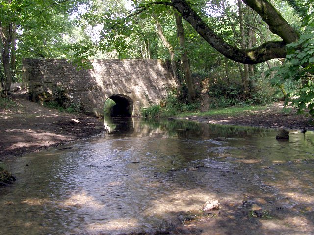
Kettle Bridge, Cerne Abbas. Kettle Bridge is a stone and flint construction, built to carry cart traffic across the River Cerne to and from Silley Court Barn. Grain was stored at the barn before it was taken downstream to Abbey Mill.
The Pitchmarket in the village. A row of Tudor timber framed buildings stand in Abbey Street, Cerne Abbas. They are called the Pitchmarket. Dating from the early C16, it gets its name from the market once held outside, where millers 'pitched' for corn. Thomas Washington, the uncle of George Washington is reputed to have lived there.


