Elton Reservoir
![]()
![]() Enjoy an easy circular walk around this pretty reservoir in Bury. It's a nice path with good views across the water where you'll often see little sailboats. The reservoir is also surrounded by some nice rolling countryside and woodland.
Enjoy an easy circular walk around this pretty reservoir in Bury. It's a nice path with good views across the water where you'll often see little sailboats. The reservoir is also surrounded by some nice rolling countryside and woodland.
You can continue to Withins Reservoir and Black Lane to extend the walk. The Irwell Sculpture Trail passes the reservoir along the Manchester, Bolton and Bury Canal so this is another good option.
Cyclists can reach the reservoir by following National Cycle Route 6 from Bury or Radcliffe, where you can pick up the Outwood Trail through Outwood Country Park.
You could also try our circular walk around Bury which visits the Manchester, Bolton and Bury Canal as well as the reservoir.
Postcode
M26 4FW - Please note: Postcode may be approximate for some rural locationsElton Reservoir Ordnance Survey Map  - view and print off detailed OS map
Elton Reservoir Open Street Map  - view and print off detailed map
Elton Reservoir OS Map  - Mobile GPS OS Map with Location tracking
Elton Reservoir Open Street Map  - Mobile GPS Map with Location tracking
Further Information and Other Local Ideas
One nice option is to follow the Irwell river north to visit the popular Burrs Country Park. There's nice river trails and a good visitor centre in this attractive park. Near here there's also the climb to Holcombe Hill and Moor where you can visit the iconic Peel Tower. The worthy riverside settlements of Ramsbottom and Summerseat can also be explored around here. Just south of Ramsbottom there's Redisher Wood. In the woods there are peaceful woodland trails and water features including the Holcombe Brook, a picturesque lake and photogenic waterfalls.
For more walking ideas in the area see the Greater Manchester Walks page.
Cycle Routes and Walking Routes Nearby
Photos
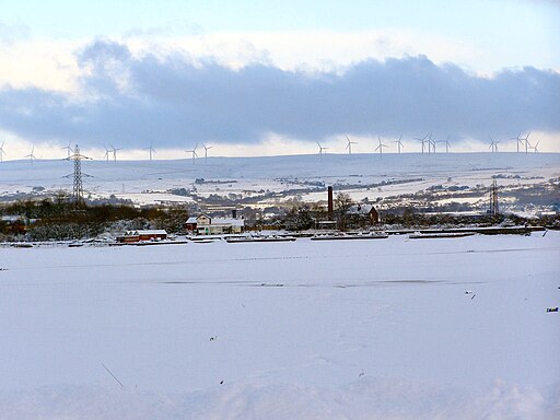
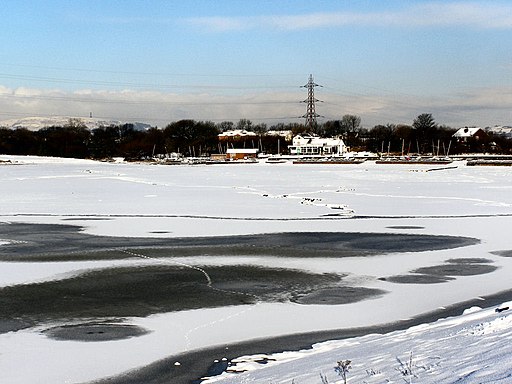
The southern end of the reservoir, taken from the footpath on a snowy winters day in 2010. Looking north across the frozen reservoir towards Elton Sailing club. The turbines of the Scout Moor Wind Farm (6 miles away) can be clearly seen across the horizon.
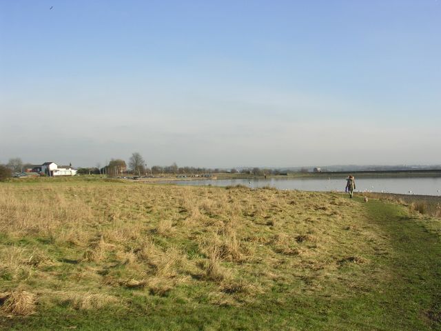
Elton Reservoir. A large reservoir to the southwest of Bury. Home of Bury Angling Association and Elton Sailing Club. The reservoir is owned by British Waterways and was built to serve as a feeder for the Manchester Bolton & Bury Canal. The reservoir (opened in 1842) was constructed because the local mill owners feared that taking water directly from the nearby River Irwell to supply the canal would result in a water shortage.
Fields to the South of Elton Reservoir. View looking south over common land and farmland towards Whitefield
Irwell Sculpture Trail on the towpath of the disused Manchester Bolton and Bury canal, close to the reservoir. The Irwell is to the east of the canal at this point at a lower level. To the left of the photograph in the distance is the dam of Elton reservoir which feeds the canal just beyond the bridge.


