Essex Way
![]()
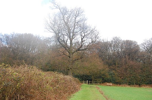
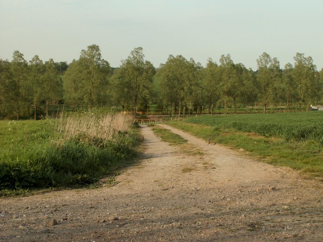
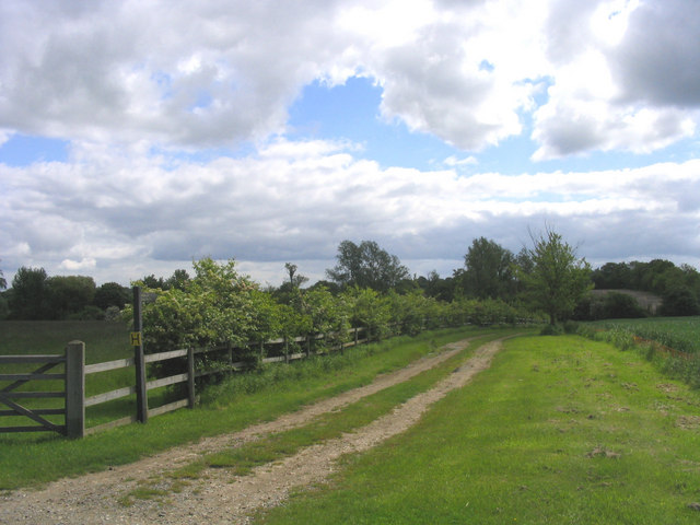
![]() Travel through the Essex countryside from Epping to Harwich on this 81 mile footpath. The path takes you through some interesting towns and delightful villages, including Chipping Ongar, Terling, Willingale, Pleshey, Coggeshall, Dedham and Mistley. The walk includes riverside sections along the River Blackwater, the River Colne and along the River Stour at the end of the route. This final section is particularly lovely passing Manningtree and the Wrabness Nature Reserve on the banks of the river Stour estuary.
Travel through the Essex countryside from Epping to Harwich on this 81 mile footpath. The path takes you through some interesting towns and delightful villages, including Chipping Ongar, Terling, Willingale, Pleshey, Coggeshall, Dedham and Mistley. The walk includes riverside sections along the River Blackwater, the River Colne and along the River Stour at the end of the route. This final section is particularly lovely passing Manningtree and the Wrabness Nature Reserve on the banks of the river Stour estuary.
Here you can see owls, yellowhammers, whitethroats, turtle dove, song thrush, nightingales and bullfinches.
The walk is waymarked with a white disc featuring poppies.
Essex Way Ordnance Survey Map  - view and print off detailed OS map
Essex Way Open Street Map  - view and print off detailed map
Essex Way OS Map  - Mobile GPS OS Map with Location tracking
Essex Way Open Street Map  - Mobile GPS Map with Location tracking
Pubs/Cafes
In the pretty village of Terling you could stop of at the noteworthy Rayleigh Arms. The 1840 pub is one of the dominant buildings in the village. They have a good menu with a cosy interior and log fire. Outside there's a lovely large garden area for warmer days. You can find them at 1 Owl's Hill, CM3 2PW. They are dog friendly if you have your canine friend with you.
Further Information and Other Local Ideas
For more walking ideas in the area see the Essex Walks page.
Cycle Routes and Walking Routes Nearby
Photos
Elevation Profile


