Mistley Walks
![]()
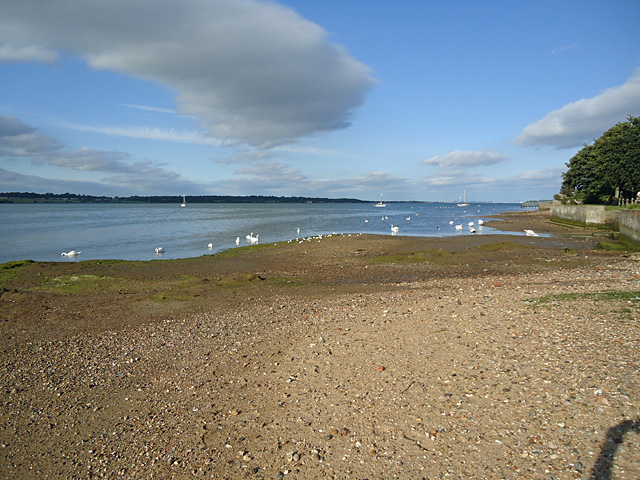
![]() This Essex based village lies in a lovely spot on the River Stour just to the east of Manningtree.
This Essex based village lies in a lovely spot on the River Stour just to the east of Manningtree.
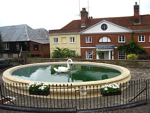
Features in the village include the historic Mistley Towers, a picturesque village pond, and old church and a pretty quay.
Mistley is located right on the Essex Way, a long distance waymarked footpath running through the best of the county. This walk from the settlement takes you east allong the trail to visit the Wrabness Nature Reserve. On the way you will pass Mistley Heath and the neighbouring village of Bradfield before coming to the reserve. The riverside reserve is a great place for wildlife watching with a wide variety of birds visiting the river here.
Mistley Ordnance Survey Map  - view and print off detailed OS map
Mistley Open Street Map  - view and print off detailed map
Mistley OS Map  - Mobile GPS OS Map with Location tracking
Mistley Open Street Map  - Mobile GPS Map with Location tracking
Walks near Mistley
- Manningtree - The Essex town of Manningtree is nicely located on the estuary of the River Stour in the Tendring district of the county
- Alton Water - Follow a mixture of well surfaced and unsurfaced cycling and walking trails around this large reservoir in Stutton, Ipswich
- Suffolk Coast Path - A walk along the beautiful Suffolk coast from Felixstowe to Lowestoft
- Dedham to Flatford Walk - This circular walk takes you from the village of Dedham to the site of Constable's most famous painting at Flatford Mill
- Dedham Vale - Explore John Constable country and visit the site of his famous Hay Wain painting on this circular walk in the Dedham Vale AONB
- Ardleigh Reservoir - This pretty reservoir near Colchester has a nice country lane running along its northern side
- Stour Valley Path - Follow the River Stour from Newmarket to Cattawade on this delightful walk through East Anglia
- St Edmund Way - A walk through Essex, Suffolk and Norfolk from Manningtree to Brandon
- Wrabness - This walk visits Bradfield and the lovely Wrabness Nature Reserve in Essex
- East Bergholt - This attractive Suffolk village is in a fine location for exploring the wonderful Dedham Vale AONB in Constable Country
- High Woods Country Park - This country park in Colchester includes woodland, open spaces, ponds, a lake and wildflower meadows
Photos
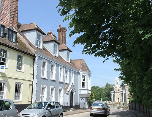
Mistley Towers. These porticoed Classical towers are all that survive from the church of St Mary the Virgin, originally built in 1735 and re-modelled in an unconventional style by Robert Adam in 1776. The nave between the two towers was demolished in 1870 when a new church was built nearby. The Towers come under the overall supervision of English Heritage, but are managed by the local Residents' Association, from whom a key is available.

