Glyndwr's Way
![]()
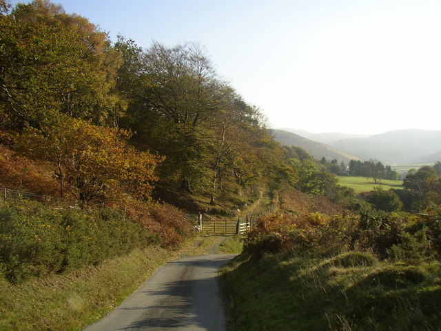
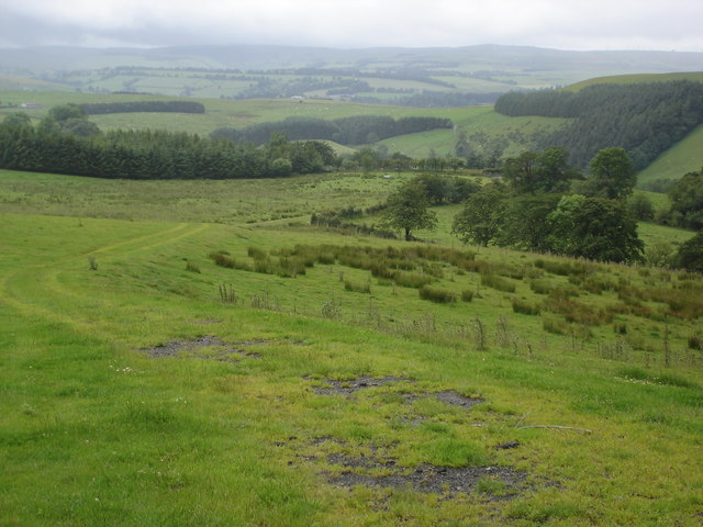
![]() Starting at Knighton on the English/Welsh border follow this wonderful 135 mile long trail through some of the most stunning landscape in Wales. Highlights on the route include rolling Welsh Hills, views of the River Severn, a series of interesting Welsh towns, several beautiful waterfalls including the Rhiwargor Waterfall and the lovely lakes of Llyn Clywedog and Lake Vyrnwy.
Starting at Knighton on the English/Welsh border follow this wonderful 135 mile long trail through some of the most stunning landscape in Wales. Highlights on the route include rolling Welsh Hills, views of the River Severn, a series of interesting Welsh towns, several beautiful waterfalls including the Rhiwargor Waterfall and the lovely lakes of Llyn Clywedog and Lake Vyrnwy.
For more information on this trail please visit the National Trail web site.
Glyndwr's Way Ordnance Survey Map  - view and print off detailed OS map
Glyndwr's Way Open Street Map  - view and print off detailed map
Glyndwr's Way OS Map  - Mobile GPS OS Map with Location tracking
Glyndwr's Way Open Street Map  - Mobile GPS Map with Location tracking
Pubs/Cafes
At the start point in Knighton you could enjoy a pre walk drink at the historic Horse and Jockey. The traditional 14th century coaching inn includes a cosy interior with original beams and open fires. There's a nice garden area for warmer weather and a fine restaurant which serves good quality dishes. You can find them at Wylcwm Place, Station Rd, LD7 1AE. The village of Knucklas is just north west of here. The historic village includes the excellent Castle Inn and views of the impressive Knucklas Viaduct which you can see from the trail around Bailey Hill.
Machynlleth is a nice place to stop for some refreshments on the route. The town is significant as the ancient capital and parliamentary seat of wales, home to Laura Ashley, lying within the UNESCO Dyfi Biosphere reserve. The Red Lion pub has a good menu and is also dog friendly. Outside you can relax in the beer garden on warmer days. Inside there's interesting heavy rock memorabilia on the walls and a cosy atmosphere. You can find the pub at 11 Heol Maengwyn with a postcode of SY20 8AA for your sat navs.
In Llanidloes one of the highlights is the historic Angel Inn. The Timber framed former Coaching Inn was built way back in 1748. The Pub has a wealth of character with many original features including Oak beams in the Bar and Lounge. There's a very good menu and some picnic tables outdoors for warmer days. It is located close to the center of Llanidloes on the High Street with a postcode of SY18 6BY for your sat navs.
Cycle Routes and Walking Routes Nearby
Photos
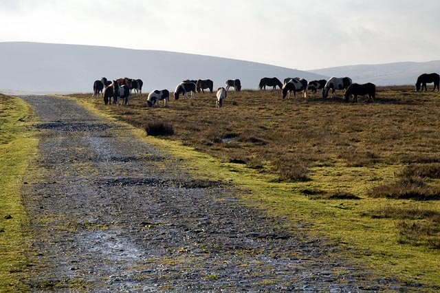
Mountain ponies graze beside Glyndwr's way, on the route from Cefn Pawl southwards towards Warren Bank and Black Mountain
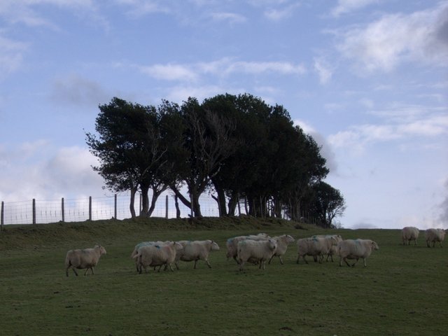
A flock of sheep at Pen y Banc appears to be setting off southwards on the trail, which follows the line of trees onto the wide grassy ridge of Cefn Modfedd.
Video
Route Highlights
KnightonThis small market town marks the start of the trail. It lies on the River Teme (pictured) and straddles the English-Welsh border. |
LlanidloesA popular place with walkers, this pleasant town is right on the trail and has plenty of amenities. It is situated on the River Severn, which you'll cross as you pass through the town. |
Clywedog reservoirPopular area with scenic walks and wildlife watching. Has a concrete buttress dam that is the tallest in the UK. |
Dylife Gorge WaterfallStunning gorge carved during the last Ice age. It is headed by the Ffrwd Fawr Waterfall. |
MachynllethAttractive market town with good transport links |
Lake VyrnwyBeautiful lake and Nature Reserve with a dam (right), built in the 1880s, which was the first of its kind in the world. Now run by the RSPB the estate also includes Rhiwargor Falls and a Sculpture trail. |
River VyrnwyAt Dolanog you cross the River Vyrnwy which you follow for the next few miles. |
WelshpoolThe town of Welshpool marks the end of the trail. |


