Lyth Hill Country Park
![]()
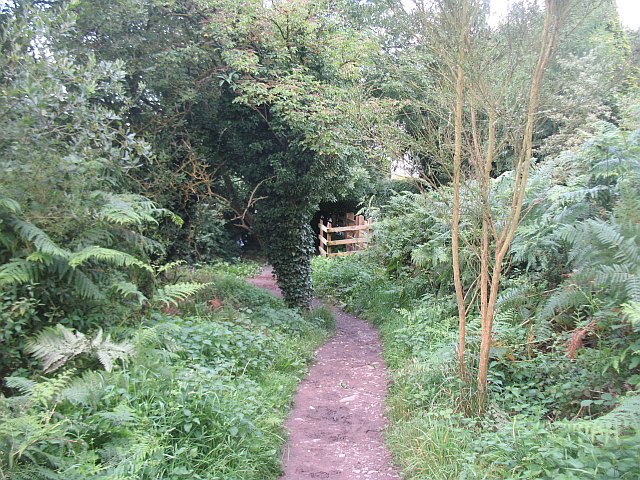
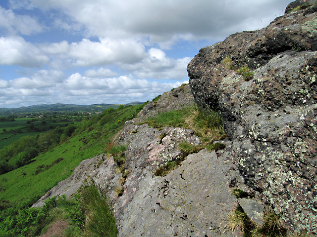
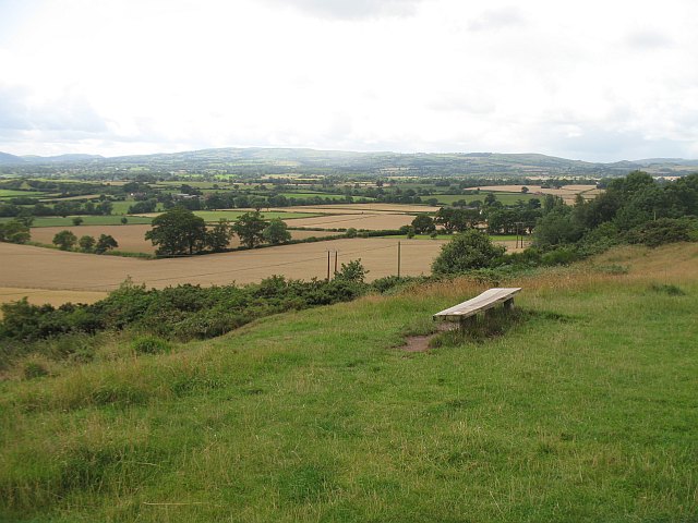
![]() Enjoy wonderful views over the Shropshire Hills in this country park near Shrewsbury. The walk starts at the car park at the eastern end of the park. You then follow the Shropshire Way and other trails to the viewpoints. From here there are splendid views of The Wrekin, Wenlock Edge and Stiperstones. You also pass through areas of woodland, scrub, and open grassland with a variety of wildlife to look out for. Lyth Hill can also be reached by following the Shropshire Way from Shrewsbury.
Enjoy wonderful views over the Shropshire Hills in this country park near Shrewsbury. The walk starts at the car park at the eastern end of the park. You then follow the Shropshire Way and other trails to the viewpoints. From here there are splendid views of The Wrekin, Wenlock Edge and Stiperstones. You also pass through areas of woodland, scrub, and open grassland with a variety of wildlife to look out for. Lyth Hill can also be reached by following the Shropshire Way from Shrewsbury.
You can extend your walking here on our Shrewsbury River Walk which explores the town centre and the lovely Quarry Park.
The Marches Way long distance trail runs past the park. You can pick it up and head west to Pontesbury where you can enjoy a climb to Pontesford Hill and Earl's Hill. The nature reserve has lots of flora and fauna and splendid views from the hill top.


