Windermere Way
![]()
![]() A circular walk around Lake Windermere in the beautiful Lake District. The route takes you along various footpaths and quiet lanes visiting several of the pretty settlements surrounding the lake.
A circular walk around Lake Windermere in the beautiful Lake District. The route takes you along various footpaths and quiet lanes visiting several of the pretty settlements surrounding the lake.
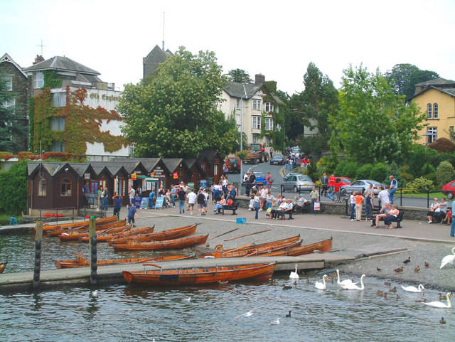
Starting in Bowness the route heads north along the lake before climbing up to the town of Windermere. Here you enjoy a climb to the viewpoint at Orrest Head and continue past Troutbeck Bridge to Wansfell Pike.
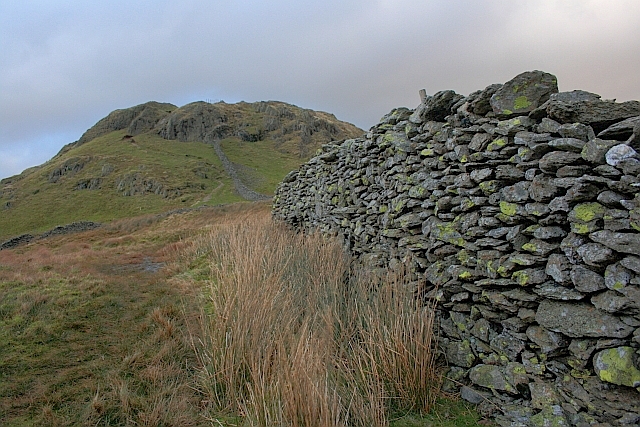
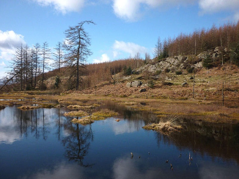
The route then descends into the popular town of Ambleside before climbing along Loughrigg Fell to the lovely Loughrigg Tarn.
The route descends to Skelwith Bridge, with its impressive waterfall and riverside tea rooms. You then pass along the western side of the lake visiting the National Trust's Wray Castle and exploring the woodland trails on Claife Heights.
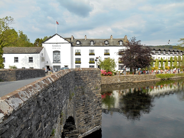
At the southern end of the lake you cross the River Leven at Newby Bridge and head along the eastern side of the lake. You'll pass the fine viewpoint at Gummers How before returning to Bowness.
Windermere Way Ordnance Survey Map  - view and print off detailed OS map
Windermere Way Open Street Map  - view and print off detailed map
Windermere Way OS Map  - Mobile GPS OS Map with Location tracking
Windermere Way Open Street Map  - Mobile GPS Map with Location tracking
Pubs/Cafes
At Skelwith Bridge you can enjoy refreshments at the lovely Chesters by the River cafe. Here you'll find a nice riverside deck where you can sit outside and enjoy lunch on finer days. There's delicious salads, specials, cakes and a shop where you can buy souvenirs. You can find it at postcode LA22 9NW for your sat navs.
Further Information and Other Local Ideas
The walk links up with the West Windermere Way at the south western end of the lake. The new waymarked route visits Lakeside, Finsthwaite and Stott Park. It is suitable for both walkers and cyclists.
Cycle Routes and Walking Routes Nearby
Elevation Profile


