Ennerdale Forest
![]()
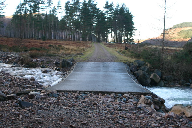
![]() Enjoy miles of traffic free cycling and walking trails in this super forest in the Lake District National Park. The route starts at the Bowness Knott car park next to the beautiful Ennerdale Water. You then head east into the forest along the lakeside path. After leaving the lake behind the track follows the River Liza into the forest to Ash Crag before returning along the south side of the river. The forest tracks are quite uneven in places so a mountain bike is required for cyclists.
Enjoy miles of traffic free cycling and walking trails in this super forest in the Lake District National Park. The route starts at the Bowness Knott car park next to the beautiful Ennerdale Water. You then head east into the forest along the lakeside path. After leaving the lake behind the track follows the River Liza into the forest to Ash Crag before returning along the south side of the river. The forest tracks are quite uneven in places so a mountain bike is required for cyclists.
The views of Ennerdale valley are fabulous with some of the highest and best-known fells in Cumbria forming a spectacular backdrop - Great Gable, Green Gable, Brandreth, High Crag, Steeple and Pillar are all visible on the route.
Just to the south of the forest is Pillar, the eighth highest mountain in the eighth highest mountain in the Lake District.
You can climb to the peak from the forest via the striking Pillar Rock.
Ennerdale Forest Ordnance Survey Map  - view and print off detailed OS map
Ennerdale Forest Open Street Map  - view and print off detailed map
Ennerdale Forest OS Map  - Mobile GPS OS Map with Location tracking
Ennerdale Forest Open Street Map  - Mobile GPS Map with Location tracking
Further Information and Other Local Ideas
South east of Buttermere Lake there's the climb to Warnscale Bothy and Buttermere Infinity Pool. Here you'll find a wonderful old bothy tucked into the hillside and crystal clear pool great for wild swimming.
For more walking ideas in the area see the Lake District Walks page.


