Fallowfield Loop
![]()
![]() This popular traffic free cycle ride follows a National Cycle Network route from Chorlton-cum-Hardy to Debdale. The route follows an old railway line and passes Fallowfield and Levenshulme finishing at Debdale Park where there are off-road cycle trails around Gorton's reservoirs.
This popular traffic free cycle ride follows a National Cycle Network route from Chorlton-cum-Hardy to Debdale. The route follows an old railway line and passes Fallowfield and Levenshulme finishing at Debdale Park where there are off-road cycle trails around Gorton's reservoirs.
You'll also pass close to Highfield Country Park where you can enjoy some pleasant trails around the 70 acre park.
Fallowfield Loop Ordnance Survey Map  - view and print off detailed OS map
Fallowfield Loop Open Street Map  - view and print off detailed map
Fallowfield Loop OS Map  - Mobile GPS OS Map with Location tracking
Fallowfield Loop Open Street Map  - Mobile GPS Map with Location tracking
Further Information and Other Local Ideas
The route is coincident with the Manchester Cycleway. The mainly off road trail will take you to some of the local highlights before finishing at the Velodrome and Sportcity in east Manchester. On the way you will pass the Ashton Canal, Highfield Country Park, Debdale Park and the Audenshaw Reservoirs.
Cycle Routes and Walking Routes Nearby
Photos
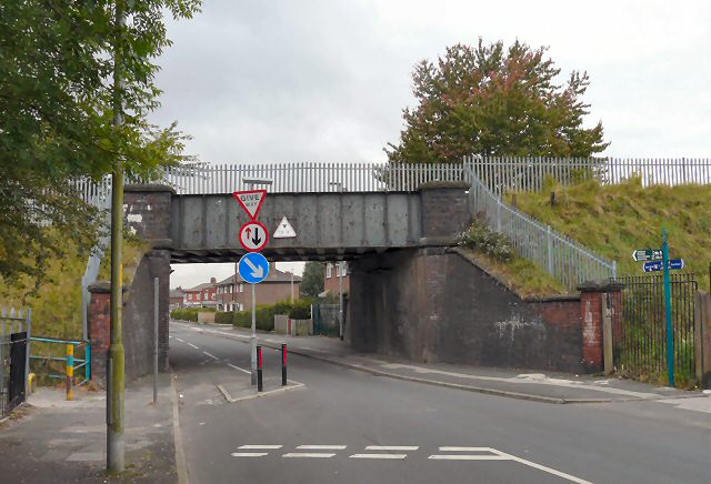
Bridge carrying St Werburgh's Road over the Fallowfield Loop Cycleway. The Fallowfield Loop railway line opened in 1892 and was closed in October 1988.
A crossing of paths Just by the entrance to the Elisabeth Svendsen Trust Donkey Sanctuary is a footpath crossroads. Behind us is Greenfold leading into Abbey Hey. Ahead is Debdale Park. Left leads along the old railway line to Fairfield. Right goes along the old railway towards Gorton.


