National Cycle Route 18
62.8 miles (101 km)
![]()
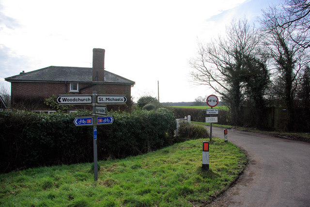
![]() This signed Sustrans cycle route runs through Kent from Canterbury to Tunbridge Wells for a distance of about 63 miles.
This signed Sustrans cycle route runs through Kent from Canterbury to Tunbridge Wells for a distance of about 63 miles.
The route takes you through the High Weald AONB, passing a number of picture postcard villages with some stunning countryside views.
At the western end the route links with National Cycle Route 21 around Groombridge. The route runs to Greenwich, Croydon, Redhill, Crawley, East Grinstead, Heathfield and Hailsham before finishing on the coast at Eastbourne.
National Cycle Route 18 Ordnance Survey Map  - view and print off detailed OS map
National Cycle Route 18 Open Street Map  - view and print off detailed map
National Cycle Route 18 OS Map  - Mobile GPS OS Map with Location tracking
National Cycle Route 18 Open Street Map  - Mobile GPS Map with Location tracking
Further Information and Other Local Ideas
The route passes close to Bewl Water where you can enjoy a splendid waterside cycle trail.
Cycle Routes and Walking Routes Nearby
Photos
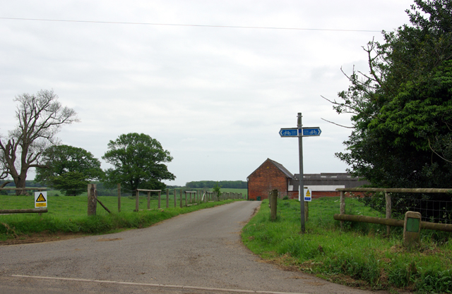
View from Stepneyford Lane near Benenden


