National Cycle Route 21
![]()
![]() This is the complete Sustrans National Cycle Route 21 running from Greenwich in London to Eastbourne on the south coast.
This is the complete Sustrans National Cycle Route 21 running from Greenwich in London to Eastbourne on the south coast.
The route runs for about 95 miles through Croydon, Redhill, Crawley, East Grinstead, Heathfield and Hailsham before finishing on the coast at Eastbourne. It includes several long traffic free sections along former railway lines, including the popular Cuckoo Trail and the Waterlink Way. There's also some beautiful Surrey and Sussex countryside, with fine coastal views towards the end of the route.
You can download the full gpx for the route at the bottom of the page.
Cycle Routes on National Cycle Route 21
- Greenwich to Croydon - This ride follows NCN route 21, taking you through south east London
- Crawley to Eastbourne - Follow National Cycle route 21 from Crawley to Eastbourne on the south coast
- Croydon to Redhill - Follow National Cycle Network route 21 from Croydon to Redhill passing through the attractive (but hilly!) North Downs
- Worth Way - This 7 mail long bridleway and footpath runs along National Cycle route 21 from Crawley to East Grinstead via the village of Crawley Down
- South Norwood Country Park - A cycle or walk through this pleasant country park in Croydon
- Cuckoo Trail - This traffic free cycle and walking path runs along a disused railway line from Heathfield to the outskirts of Eastbourne
- Forest Way -Essex - The Forest Way in Essex runs from Loughton station to Hatfield Forest.
The walk starts taking you through Epping Forest and Epping Green towards Harlow where you pass through Harlow Common - Waterlink Way - This largely traffic free bike ride runs along National Cycle Network Route 21 from Beckenham to the Cutty Sark on the Thames
- Redhill to Tunbridge Wells - Starting in Redhill first travel south through Gatwick airport (easier and more pleasant than it sounds!) and then onto the off road Worth Way, Forest Way and Sussex Border Path that will take you through East Grinstead and some lovely countryside before finishing in Royal Tunbridge Wells
National Cycle Route 21 Ordnance Survey Map  - view and print off detailed OS map
National Cycle Route 21 Open Street Map  - view and print off detailed map
National Cycle Route 21 OS Map  - Mobile GPS OS Map with Location tracking
National Cycle Route 21 Open Street Map  - Mobile GPS Map with Location tracking
Cycle Routes near National Cycle Route 21
- National Cycle Route 18 - This signed Sustrans cycle route runs through Kent from Canterbury to Tunbridge Wells for a distance of about 63 miles.
Further Information and Other Local Ideas
Around Tunbridge Wells the route links with National Cycle Route 18. The 63 mile route will take you east to Canterbury via Ashford.
Photos
National Cycle Network Milepost, South Norwood Country Park
Pool River and National Cycle Route 21. Pool River joins the Ravensbourne River at Catford which in turn joins the Thames at Deptford. The Pool and Ravensbourne provide a linear walking and cycle path (National Cycle Route 21) through this part of south-east London. Here is the Pool River, looking north from a footbridge at Bell Green SE6 with the path on the left.
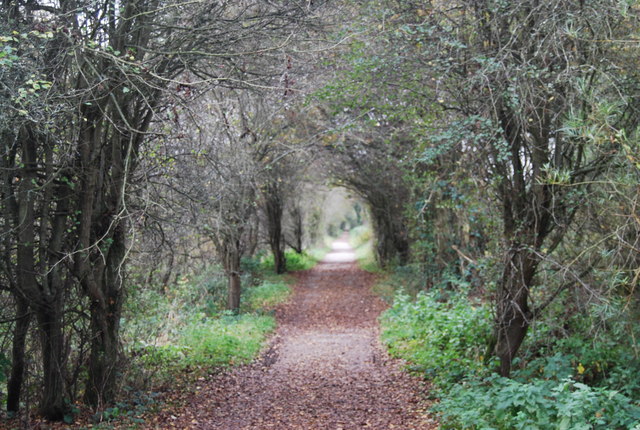
On the Forest Way dismantled Railway. This railway was the Tunbridge Wells to Three Bridges line. It closed in 1967 (a Beeching Cut). Now the route of the Forest Way


