National Cycle Route 20
![]()
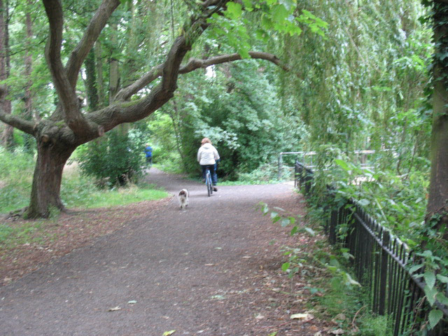
![]() This popular Sustrans National Cycle Route is made up of two sections. The first runs from Wandsworth to Merstham, with part of this section running along the Wandle Trail. The traffic trail takes you along the River Wandle through the outskirts of the capital.
This popular Sustrans National Cycle Route is made up of two sections. The first runs from Wandsworth to Merstham, with part of this section running along the Wandle Trail. The traffic trail takes you along the River Wandle through the outskirts of the capital.
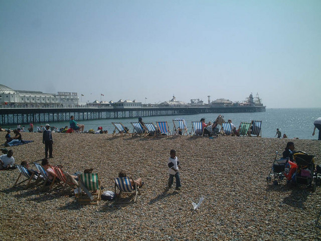
The second section runs from Pyecombe to the coast at Brighton.
The route on the map below shows both sections but with the missing section using National Cycle Route 21 and the old Route 20 from Crawley down to Pycombe. This makes a complete route from Wandsworth in London to Brighton.
Scroll further down for some videos and a gpx file for the route.
Cycle Routes on National Cycle Route 20
- Wandle Trail - Follow the River Wandle from the River Thames at Wandsworth to Croydon
- Putney to Coulsdon - Follow National Cycle route 20 through south London on this easy ride
- Tilgate Forest Country Park - Tilgate Country Park is a popular large park and forest area in Crawley, Sussex. The trail passes through it on the way to Brighton. There are some good mountain bike trails to try in this off road section.
- Crawley to Brighton - Follow National Cycle route 20 from Crawley to the seaside resort of Brighton
National Cycle Route 20 Ordnance Survey Map  - view and print off detailed OS map
National Cycle Route 20 Open Street Map  - view and print off detailed map
National Cycle Route 20 OS Map  - Mobile GPS OS Map with Location tracking
National Cycle Route 20 Open Street Map  - Mobile GPS Map with Location tracking
Further Information and Other Local Ideas
The route links up with National Cycle Route 22 around Banstead. This will take you south through Surrey, Hampshire and the North Downs to Portsmouth on the south coast.
You can link up with National Cycle Route 208 in the Morden area.
Cycle Routes and Walking Routes Nearby
Photos
Beddington: River Wandle, looking upstream. Where the Wandle Trail passes the end of Lavington Road, there is a footbridge giving access to Richmond Green on the north bank. This photograph was taken from the bridge, looking east (upstream) on the river.


