National Cycle Route 65 - The White Rose Cycle Route
![]()
![]() This long distance cycle trail runs from seaside town of Hornsea to Middlesbrough, through East Riding of Yorkshire, North Yorkshire and Teesside.
This long distance cycle trail runs from seaside town of Hornsea to Middlesbrough, through East Riding of Yorkshire, North Yorkshire and Teesside.
The route is coincident with a section of the epic Trans Pennine Trail.
Highlights on the route include the wonderful city of York and the beautiful North York Moors National Park where there's some stunning scenery.
Scroll down for videos and the gpx file for the whole route.
Cycle Routes on National Cycle Route 65
- Hull to Hornsea - Follow National Cycle route 65 on this lovely largely traffic free route
- Selby to Hessle - This lovely route starts in Selby and follows National Cycle route 65 and the Trans Pennine Trail to Hessle
- York to Thirsk - Follow National Cycle route 65 through Yorkshire on this lovely route
- Middlesbrough to Thirsk - Follow National Cycle route 65 through North Yorkshire on this challenging ride
- Silton Forest - Enjoy miles of mountain bike trails and footpaths in this large coniferous forest on the North York Moors
- Trans Pennine Trail - This terrific walking and cycling trail runs from coast to coast across northern England entirely on surfaced paths
National Cycle Route 65 Ordnance Survey Map  - view and print off detailed OS map
National Cycle Route 65 Open Street Map  - view and print off detailed map
National Cycle Route 65 OS Map  - Mobile GPS OS Map with Location tracking
National Cycle Route 65 Open Street Map  - Mobile GPS Map with Location tracking
Cycle Routes near National Cycle Route 65
- National Cycle Route 71 - This signed Sustrans Cycle Route runs from Whitehaven to Kirby Knowle in Yorkshire.
Further Information and Other Local Ideas
In the Yorkshire area you can link up with National Cycle Route 71 which runs from Whitehaven to Kirby Knowle through the Lake District.
Photos
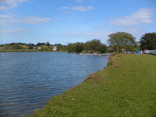
Hornsea mere. The opening section runs past this pretty mere and along the traffic free Hornsea Rail Trail.
Cod Beck Reservoir in the North York Moors. The trail runs along part of the reservoir on a lovely waterside section.


