GPS Cycle and Walking Routescycle iconwalk icon

National Cycle Route 88

8.7 miles (14 km)

Ordnance Survey Map Open Streetmap As of time of writing this signed Sustrans route is currently open in sections in south Wales.
This section of the route takes you from Barry Island to Ewenny, just outside Bridgend. The trail runs for just under 9 miles along pleasant country lanes. On the way you will pass Porthkerry Country Park, Cardiff Airport, Rhoose, Llantwit Major and Wick. The country park near the start is well worth exploring with wildflower meadows, streams, nature trails and views of the Porthkerry viaduct.
For another route along the trail see the Newport To Caerleon Cycle Route which takes you along the River Usk between the two settlements.

National Cycle Route 88 OS Map Ordnance survey map - Mobile GPS OS Map with Location tracking

National Cycle Route 88 Open Street Map Open Streetmap - Mobile GPS Map with Location tracking

Cycle Routes and Walking Routes Nearby

Photos

Barry Island (19246735281)

Barry Island

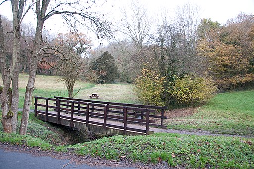
Footbridge and picnic area - Porthkerry Country Park, Barry - geograph.org.uk - 2171921

Footbridge and picnic area, Porthkerry Country Park

Porthkerry Viaduct, Barry, South Wales, UK - geograph.org.uk - 1019129

Porthkerry Viaduct, Barry, South Wales, UK

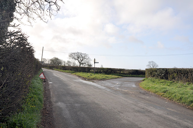
Llanbethery junction approaching Pancross - geograph.org.uk - 1234658

Llanbethery junction approaching Pancross

Church and yew trees, Penmark - geograph.org.uk - 1028459

Church and yew trees, Penmark

Village green, Llanmaes. - geograph.org.uk - 914609

Village green, Llanmaes.

Cardiff Wales Airport perimeter road - geograph.org.uk - 1058797

Cardiff Wales Airport perimeter road

Upstream along the Ewenny River, Ewenny - geograph.org.uk - 4326560

Upstream along the Ewenny River, Ewenny

GPS Files

GPX File

National Cycle Route 88.gpx (On Desktop:Right Click>Save As. On Ipad/Iphone:Click and hold>Download Linked File)