Newport To Caerleon Cycle Path
![]()
![]() This cycle route follows National Cycle Route 88 from Newport To Caerleon. The route includes a lovely traffic free riverside path along the River Usk. This part is fairly flat so ideal for families looking for a safe cycle ride in the area.
This cycle route follows National Cycle Route 88 from Newport To Caerleon. The route includes a lovely traffic free riverside path along the River Usk. This part is fairly flat so ideal for families looking for a safe cycle ride in the area.
You start off just north of Newport Bridge, heading north and crossing the Monmouthshire and Brecon Canal into Shaftesbury. The ride then passes the M4 motorway where you'll pick up the riverside section. This will take you east into Caerleon where you pass the ancient Roman Amphitheatrenear before finishing at Caerleon Bridge over the river.
The route links up with National Cycle Route 47 on the Monmouthshire and Brecon Canal. You can extend your ride by heading west along the pleasant towpath.
Newport To Caerleon Ordnance Survey Map  - view and print off detailed OS map
Newport To Caerleon Open Street Map  - view and print off detailed map
Newport To Caerleon OS Map  - Mobile GPS OS Map with Location tracking
Newport To Caerleon Open Street Map  - Mobile GPS Map with Location tracking
Cycle Routes and Walking Routes Nearby
Photos
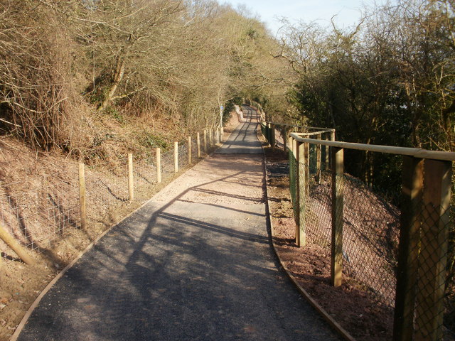
Malpas to Caerleon cycle route nears completion in 2010. The route makes use of the only flat land in the area, along the north bank of the Usk (the river is a few metres beyond the right edge of the photo). To the left, the land rises steeply. Cyclists and pedestrians now have a safe and flat route, in contrast to the existing Pillmawr Road route which is hilly, narrow, bendy and has only narrow, or in places no, pavements, and is much used by motor vehicles.
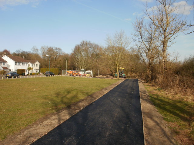
Cycle path. The semi-rural part of the cycle path nears its end as the motorway bridges appear in the distance
Caerleon footbridge. The footbridge across the River Usk was opened in 1968. It is alongside the road bridge, which is too narrow for pavements. Before the footbridge, it was very hazardous for pedestrians to use the road bridge, especially as at that time, before the opening of the A449 in 1972, the bridge was part of the trunk route from Newport to Raglan.


