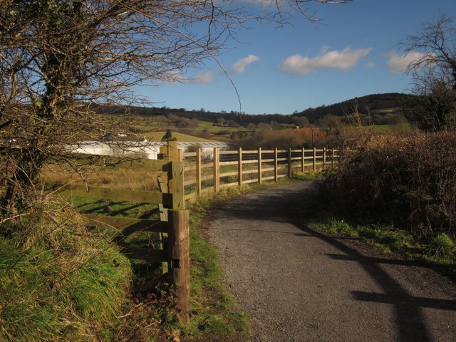
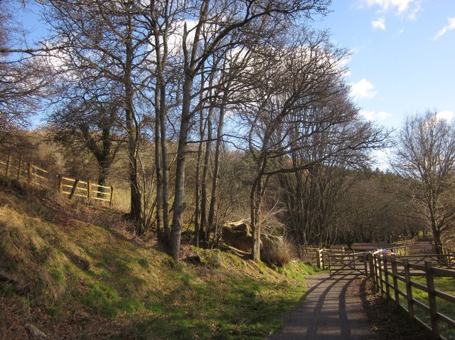
Wray Valley Trail
![]()
![]() This shared cycling and walking trail runs along a dismantled railway line from
Moretonhampstead to Bovey Tracey in Devon.
This shared cycling and walking trail runs along a dismantled railway line from
Moretonhampstead to Bovey Tracey in Devon.
The route runs for about 7 miles along a steadily descending off road trail which was once part of the Moretonhampstead and South Devon Railway. Along the way you will pass the village of Lustleigh and enjoy fine views of the surrounding Dartmoor countryside and woodland. It's a fairly easy traffic free ride so suitable for famillies or anyone looking for a safe cycle or walk.
Near Lustleigh you have the option of taking a detour to visit the peaceful woodand trails of Lustleigh Cleave.
The trail uses a section of National Cycle Route 28. The signed Sustrans route runs from Okehampton to Yealmpton and includes the Stover Cycle Path which you can link up with at Bovey Tracey. The path makes a fine extension to the route, taking you to Newton Abbot via Stover Country Park.


