Aberporth to Llangrannog Coastal Path
![]()
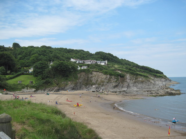
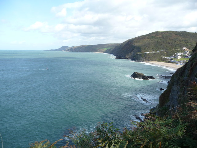
![]() This walk takes you along a section of the Ceredigion Coast Path from Aberporth to Llangrannog.
This walk takes you along a section of the Ceredigion Coast Path from Aberporth to Llangrannog.
The route runs for just over 4 miles along and undulating cliff top path, passing beautiful beaches and bays on the way.
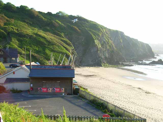
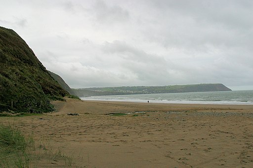
The walk starts from Aberporth Bay and heads east along the coast to the lovely Tresaith and Penbryn Beaches. You contnue north past Castell-Bach to the caves at Llangrannog. To extend the walk climb up to the Pendinas Lochtyn hill fort which lies just to the north of the village. There's some fine views over the area from the elevated position of this ancient site. See the circular Llangrannog Walk for additional information.
Aberporth to Llangrannog Coastal Path Ordnance Survey Map  - view and print off detailed OS map
Aberporth to Llangrannog Coastal Path Open Street Map  - view and print off detailed map
*New* - Walks and Cycle Routes Near Me Map - Waymarked Routes and Mountain Bike Trails>>
Aberporth to Llangrannog Coastal Path OS Map  - Mobile GPS OS Map with Location tracking
Aberporth to Llangrannog Coastal Path Open Street Map  - Mobile GPS Map with Location tracking
Further Information and Other Local Ideas
In Llangrannog you can pick up the Llangrannog to Cwmtydu Walk and continue north to the beautiful secluded cove at Cwmtydu. The beach is a great place to look out for seals during September and October.
