Alport Heights
![]()
![]() This walk visits the splendid Alport Heights viewpoint near Belper and Wirskworth in Derbyshire.
This walk visits the splendid Alport Heights viewpoint near Belper and Wirskworth in Derbyshire.
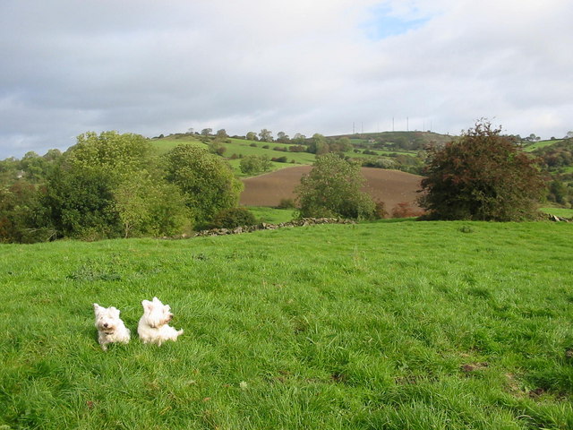
The walk starts from the Alport Heights car park which you can find at postcode DE56 2DQ for your sat navs. It's located just a few miles south east of Wirksworth. From here you can pick up a circular trail taking you around the hill top. On the summit you will find a 20ft high pillar of gritstone known as the Alport Stone. There's excellent views towards the Peak District hills as well. It's a good spot for wildlife spotting too with Kestrels often seen hunting around the hill.
The Ecclesbourne Way runs just to the west of the hill, providing an opportunity for extending your walk. This long distance walking trail follows the route of the Ecclesbourne Valley Railway from Duffield to Wirksworth. The route passes several of the stations on the route and offers fine views of the surrounding countryside as well.
Postcode
DE56 2DQ - Please note: Postcode may be approximate for some rural locationsAlport Heights Ordnance Survey Map  - view and print off detailed OS map
Alport Heights Open Street Map  - view and print off detailed map
Alport Heights OS Map  - Mobile GPS OS Map with Location tracking
Alport Heights Open Street Map  - Mobile GPS Map with Location tracking
Pubs/Cafes
Head a couple of miles south of the hill and you could visit the noteworthy Bull Shed. The site includes the Shottle Farm Brewery and a pub located on a 60 acre working farm in the little village of Shottle. The farmhouse here dates back to 1793 with lots of animals to see such as Aberdeen Angus X Shorthorn cows, goats, pigs and a herd of black cats. The associated pub includes several original features with exposed stone walls, a sloping concrete floor with cocks foot prints and massive steel beams holding up the grain floor. It's full of character and has a cosy fire for colder days. They do good home cooked food and have an excellent selection of ales from their own brewery. You can find them at a postcode of DE56 2DT for your sat navs.
Dog Walking
The walk is a nice bracing one to do with your dog and the Bull Shed mentioned above is also dog friendly.
Further Information and Other Local Ideas
Head north into Wirksworth and there's some more good walking trails to try. You could enjoy a waterside stroll along the Cromford Canal and visit the historic Cromford Mill. There's also the Walk around Belper in the nearby town.
For more walking ideas in the area see the Derbyshire Walks and Peak District Walks pages.
Cycle Routes and Walking Routes Nearby
Photos
Sandyford Lane. Heading in the general direction of Alport Heights, this pony and trap takes advantage of one of the few sunny days of late summer in 2008.


