Alston Walks
![]()
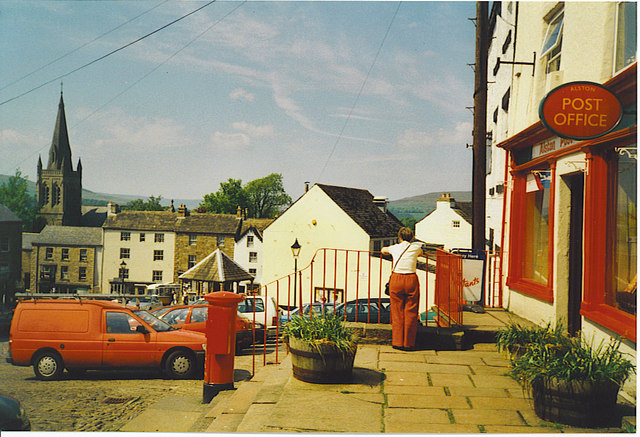
![]() This Cumbrian market town is located in a lovely spot on the River South Tyne.
This Cumbrian market town is located in a lovely spot on the River South Tyne.
The historic town has a charming cobbled main street with a market cross and many interesting old buildings including a 17th century pub of some note. It's also notable as one of the highest elevation towns in the country, at about 1000 feet (300 m) above sea level.
This walk from the town uses sections of the South Tyne Trail and the Pennine Way to create a circular walk around the area.
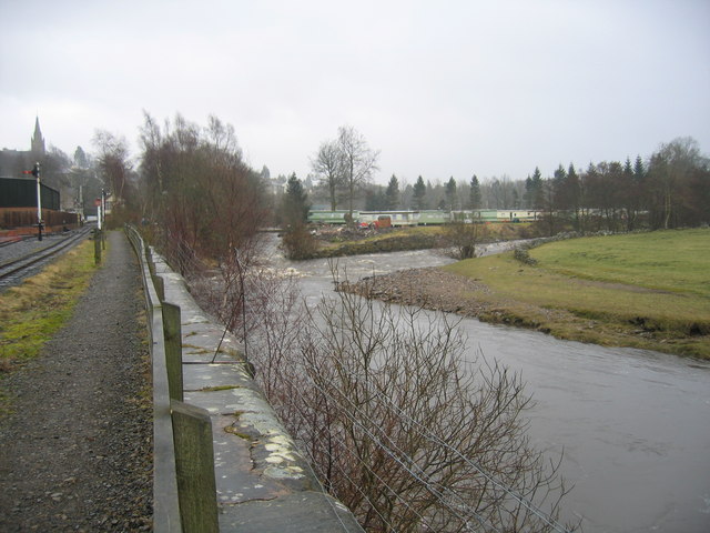
The walk starts in the town at the train station and follows the South Tyne Trail north west along the South Tynedale Railway and the River South Tyne. At Kirkhaugh you turn south west to pick up the Pennine Way and follow it to Whitley Castle Roman Fort. You then climb past Whitlow and Wanwoodhill to Harbut Lodge. This section rises to a height of over 1000 feet with fine views over the area.
Just south of Harbut Lodge you cross the river to return to Alston.
Alston Ordnance Survey Map  - view and print off detailed OS map
Alston Open Street Map  - view and print off detailed map
Alston OS Map  - Mobile GPS OS Map with Location tracking
Alston Open Street Map  - Mobile GPS Map with Location tracking
Pubs/Cafes
The 17th century Angel Inn is a good choice for some post walk refreshments. It dates all the way back to 1611 and has a charming interior. You can find the old inn on Front Street with a postcode of CA9 3HU for your sat navs.
Alston rail station on the heritage railway also has a nice cafe with a good choice of meals and snacks. It's a fine place to stop at while enjoying views of the old steam trains.
Dog Walking
The country and river trails on the route are great for dog walking. There is a moderate climb on the way so your dog does need to be in reasonable shape. The Angel Inn mentioned above is also dog friendly.
The South Tynedale railway mentioned above is also very dog friendly. They will provide a dog treat and also have shop selling locally made Wellybix biscuits which come in a delicious range of flavours. Dogs are welcome in all of the areas including the cafes, Discovery Centre and Engineering Workshop Viewing Gallery. Water bowls can be found at Alston station too.
Further Information and Other Local Ideas
The South Tynedale Steam Railway is a great way to further explore the area. The heritage steam trains run northwards for almost 5 miles from Alston in Cumbria, past the original terminus at Gilderdale, on through Kirkhaugh and Lintley to the village of Slaggyford.
The circular Isaac's Tea Trail also runs through the town. You could pick this up to visit the pretty village of Allendale where there are some nice walks along the River East Allen.
Head south along the South Tyne Trail and you will some to the attractive village of Garrigill and the impressive Ashgill Force waterfall. There's a nice path along the Ash Gill with a series of cascades and the falls themselves which plunge 55ft over a rocky shelf.
Near here there's the Nenthead mining heritage centre where you can learn all about the lead and zinc mining history of the North Pennines. There's also mine entrances, dumps, old buildings, reservoirs and some rare plants growing on the metal-rich mine dumps. The village can be reached by following a pleasant country lane north east for just over 2 miles.
Just east of Nenthead there's also Allenheads where you will find more ruined mines, a heritage centre and a decent pub dating back to 1770.
For more walking ideas in the area see the North Pennines Walks and Cumbria Walks pages.
Cycle Routes and Walking Routes Nearby
Photos
River South Tyne and Alston Arches Viaduct. The river flows over this weir immediately after passing under the former railway viaduct. The railway was opened in 1852, primarily to serve the lead-mines around Alston. It was finally closed in 1976 - surprisingly late for a line serving such a deeply rural area.


