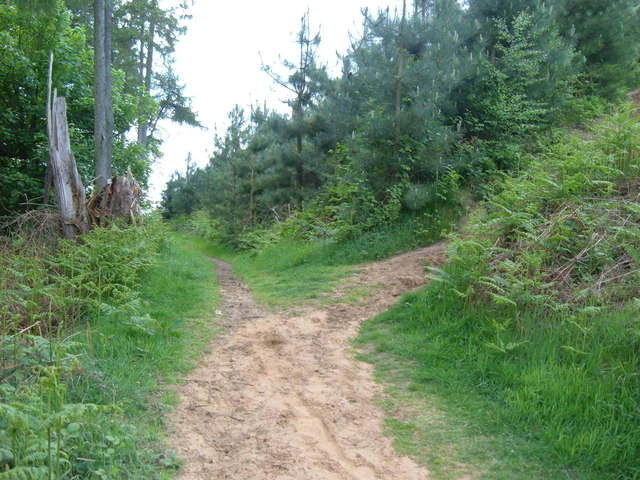
Aspley Woods
![]()
![]() These 800 acre woods near Milton Keynes have some good mountain bike trails and miles of footpaths.
These 800 acre woods near Milton Keynes have some good mountain bike trails and miles of footpaths.
You can start your exercise from the car park where you can pick up the Longslade Trail red route.
It's a single track 10km trail with flowing berms and corners, short but stiff climbs and the odd (rollable) drop-off. You can see the trails mapped out on the open street map below.
You can also pick up various footpaths taking you across Wavenden Heath and Bow Brickhill Woods. There's nice shady woodland paths, pretty ponds and lots of wildlife to see. Look out for Muntjac Deer, Fallow Deer, rabbits, hares and various woodland birds.
The Milton Keynes Boundary Walk passes through woods so you can pick up the trail to extend your walk. If you follow the trail north it will take you through the countryside to Woburn Sands and Salford.
Heading south will take you through Buttermilk Wood to Rushmere Country Park.
The Greensand Ridge Walk also passes through the woods. If you follow it east you will soon come to the splendid Woburn Park. The expansive park includes tranquil ponds, pretty Orchards, a 3000 acre deer park and the magnificent Woburn Safari Park with its White Rhino, Elephants, Tigers and Black Bears.
Postcode
MK17 8EB - Please note: Postcode may be approximate for some rural locationsAspley Woods Ordnance Survey Map  - view and print off detailed OS map
Aspley Woods Open Street Map  - view and print off detailed map
Aspley Woods OS Map  - Mobile GPS OS Map with Location tracking
Aspley Woods Open Street Map  - Mobile GPS Map with Location tracking
Pubs/Cafes
At the northern end of the woods there's the village of Woburn Sands where there are a number of pubs and cafes for refreshments. One nice option is the Fir Tree Inn which dates from 1850. There's good home made food and an outdoor seating area here. You can find them at The Square, Woburn Sands with a postcode of MK17 8SY.
Dog Walking
The woodland trails are ideal for dog walking so you'll probably bump into other owners on a fine day.
Further Information and Other Local Ideas
Head a couple of miles west from the woods and you will come to Caldecotte Lake. The pretty lake includes a surfaced cycling and walking trail running around the perimeter. It's a nice easy family walk or cycle with a decent lakeside pub to visit afterwards.
Pick up the Grand Union Canal and you could visit the canalside village of Cosgrove to the north west of Milton Keynes. There's a fine 17th century pub and a significant aqueduct to see here.
For more walking ideas in the area see the Bedfordshire Walks page.
Cycle Routes and Walking Routes Nearby
Photos
Old Wavendon Heath near to Aspley Heath. A profusion of Broom and Gorse flowers in this late spring photo. This was taken adjacent to the A4012. I assume that the ditches here are lined with paving stones to prevent collapse into the ditch of the friable sand and gravel soil. There was a quarry for gravel extraction across the road from here.
Public Bridleway. The view southwards into Browns Wood along the bridleway that joins up with the Milton Keynes Boundary Walk.


