Woburn Sands Walks
![]()
![]() This Bedfordshire based town is located just to the east of Milton Keynes. The accessible train station in the town is a good place to start a walk with waymarked footpaths to follow into the countryside, woodland and heathland which surround the town.
This Bedfordshire based town is located just to the east of Milton Keynes. The accessible train station in the town is a good place to start a walk with waymarked footpaths to follow into the countryside, woodland and heathland which surround the town.
This walk from the town uses sections of the Milton Keynes Boundary Walk and the Greensand Ridge Walk to visit Bow Brickhill Woods, Aspley Woods and the splendid Woburn Park.
The walk starts from the train station where you can pick up the Milton Keynes Boundary Walk and follow the waymarked footpath south and then west to Aspley Heath and Woods. The expansive woods have miles of good walking paths and some fine mountain bike trails to explore.
Continue south to Lowe's wood where you can pick up the Greensand Ridge Walk and then head east to Woburn village and Woburn Park. The wonderful deer park has miles of trails to follow around several pretty lakes and ponds.
Postcode
MK17 8SY - Please note: Postcode may be approximate for some rural locationsWoburn Sands Ordnance Survey Map  - view and print off detailed OS map
Woburn Sands Open Street Map  - view and print off detailed map
*New* - Walks and Cycle Routes Near Me Map - Waymarked Routes and Mountain Bike Trails>>
Woburn Sands OS Map  - Mobile GPS OS Map with Location tracking
Woburn Sands Open Street Map  - Mobile GPS Map with Location tracking
Walks near Woburn Sands
- Milton Keynes Boundary Walk - Enjoy rivers, canals, woodland and beautiful countryside on this walk around the boundary of Milton Keynes
- Greensand Ridge Walk - A walk through Bedforshire, Buckinghamshire and Cambridgeshire from Leighton Buzzard to Gamlingay
- Aspley Woods - These 800 acre woods near Milton Keynes have some good mountain bike trails and miles of footpaths.
- Woburn Park - This walk takes you through the beautiful Woburn Park in Befordshire
- Caldecotte Lake - Enjoy and easy cycle or walk around this pretty lake in Milton Keynes
- Grand Union Canal Walk - Follow the towpath of Britain's longest canal from London to Birmingham on this fabulous waterside walk
- Aspley Guise - This village in central Bedfordshire lies just to the east of Woburn Sands in the county
Pubs/Cafes
The Fir Tree Inn is a good choice for some post walk refreshment. The 19th century pub serves good home cooked food and also provides B&B rooms.You can find them on the town square at postcode MK17 8SY for your sat navs.
Dog Walking
The woods and heath on the walk make for a fine dog walk and the The Fir Tree Inn mentioned above is also dog friendly. When exploring Woburn Park please not they are not allowe within the Abbey Grounds or Gardens (except assistance dogs). Also they must be kept on a lead at all times as they can endanger the park's resident deer.
Further Information and Other Local Ideas
Just a few miles west of the town you could enjoy some waterside walking along the lovely Caldecotte Lake. On the western side of the lake you can also pick up the towpath of the Grand Union Canal.
For more walking ideas in the area see the Bedfordshire Walks page.
Photos
Woburn Sands Station. Looking towards Bedford. The station house on the left and the other station buildings are now available to let as business offices and meeting venues. Passengers are provided with bus shelters and steel seats. One of the local MK buses can be seen crossing the railway on the A4012, heading towards Woburn. The route is currently supported by contractors Wimpey as part of their involvement in a local affordable housing scheme.
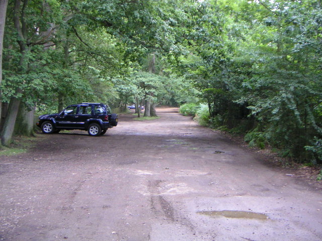
Track through New Wavendon Heath. This track is a "BOAT", that is a "Byway Open to All Traffic" marked on 1:25000 scale OS maps with a line of green crosses. It leads into the New Wavendon Heath section of Aspley Woods as a continuation of the lane from Little Brickhill and continues through the woods to Aspley Heath.


