Balgray Reservoir
![]()
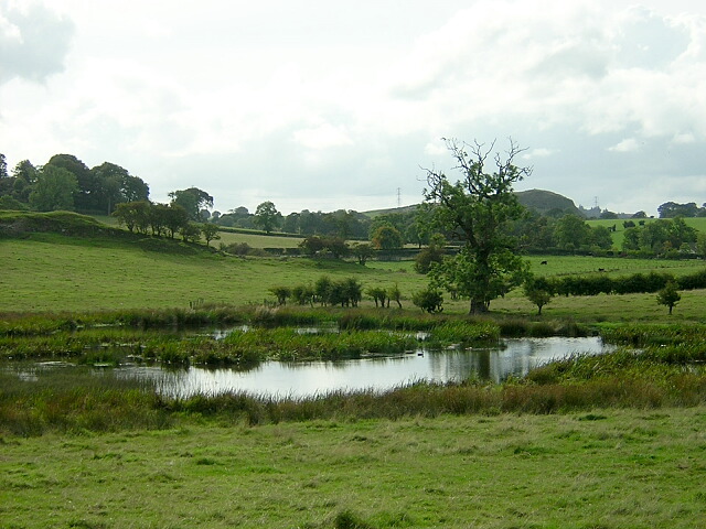
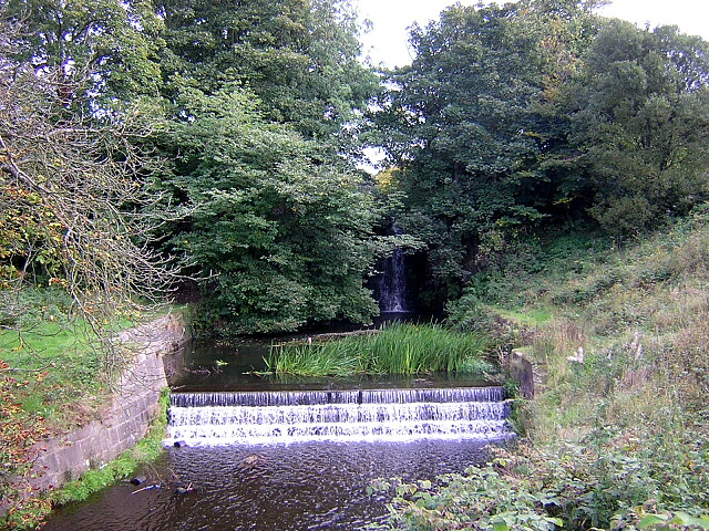
![]() This walk visits the attractive Balgray Reservoir in Barrhead. You can start the walk from the car park at the eastern end of the water on Balgraystone Road. From here you can pick up footpaths heading along the southern side of the water and along the Brock Burn. You can extend the walk by visiting the adjacent Ryat Linn and Waulkmill Reservoirs. There's more nice footpaths here and some woodland trails too. On the walk look out for a variety of water loving birds on the reservoir.
This walk visits the attractive Balgray Reservoir in Barrhead. You can start the walk from the car park at the eastern end of the water on Balgraystone Road. From here you can pick up footpaths heading along the southern side of the water and along the Brock Burn. You can extend the walk by visiting the adjacent Ryat Linn and Waulkmill Reservoirs. There's more nice footpaths here and some woodland trails too. On the walk look out for a variety of water loving birds on the reservoir.
Postcode
G53 7ZE - Please note: Postcode may be approximate for some rural locationsBalgray Reservoir Ordnance Survey Map  - view and print off detailed OS map
Balgray Reservoir Open Street Map  - view and print off detailed map
Balgray Reservoir OS Map  - Mobile GPS OS Map with Location tracking
Balgray Reservoir Open Street Map  - Mobile GPS Map with Location tracking
Further Information and Other Local Ideas
The reservoir is set within the expansive Dams to Darnley Country Park where there's 1350 acres to explore with wetland, burn, woodland, grassland and scrub.
You could also visit the nearby Rouken Glen Park where there's more good footpaths and lovely scenery.
A few miles to the north east there's the popular Pollok Country Park to explore. One of the highlights of the area Pollok was named the best park in Britain in 2006 and in 2008, was named the best park in Europe. In the park you'll find a riverside section along the pretty White Cart River, a beautiful walled garden with glasshouses, a delightful woodland garden and the very grand Pollok House - Scotland’s answer to Downton Abbey.


