Banton Loch
![]()
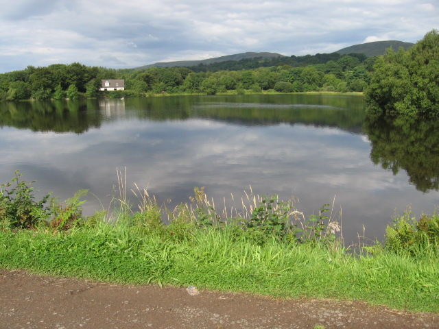
![]() This walk visits Banton Loch on the lovely Colzium Estate near Kilsyth. There's some peaceful trails from the western side of the water with lots of wildlife to look out for on the way.
This walk visits Banton Loch on the lovely Colzium Estate near Kilsyth. There's some peaceful trails from the western side of the water with lots of wildlife to look out for on the way.
On the southern side of the loch look out for the cairn commemorating the 1645 Battle of Kilsyth. After exploring the lochside paths you can head to the historic Colzium House where there are more nice trails around the grounds and gardens. The site includes the ruins of the 16th century castle, a visitor centre, garden cafe and a walled garden.
The loch is also known as Townhead Reservoir and was built in 1773 as a feeder loch for the Forth and Clyde Canal.
Postcode
G65 0PY - Please note: Postcode may be approximate for some rural locationsBanton Loch Ordnance Survey Map  - view and print off detailed OS map
Banton Loch Open Street Map  - view and print off detailed map
Banton Loch OS Map  - Mobile GPS OS Map with Location tracking
Banton Loch Open Street Map  - Mobile GPS Map with Location tracking
Pubs/Cafes
The garden cafe on the Colzium Estate is a nice place to relax with refreshments after your walk.
Further Information and Other Local Ideas
Head north from the town and you could visit the expansive Carron Valley Reservoir where there are more nice waterside paths and miles of woodland trails through the adjacent Carron Valley Forest. Just to the north west of the water there's the Loup of Fintry where you'll find beautiful 94ft high waterfalls. You can also pick up the more challenging Meikle Bin Trail in this area.
The city of Stirling with its impressive castle and nearby North Third Reservoir are also worth visiting.
In Cumbernauld to the south there's the splendid Palacerigg Country Park, Fannyside Lochs and Broadwood Loch to explore.
For more walking ideas in the area see the Loch Lomond and the Trossachs Walks page.
Cycle Routes and Walking Routes Nearby
Photos
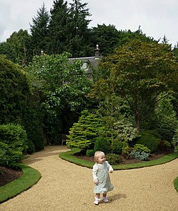
Colzium House, Kilsyth. The house and estate are principally used for public recreation, as the venue for the annual Kilsyth International Carnival in mid August, an "Italian Picnic" – a gathering of Italian/Scottish families, and functions such as weddings and parties. There is also a fine walled garden and a small theatre, the "clock theatre". The estate still contains the ruins of the 16th century Colzium Castle just 100 metres north of Colzium House.


