Crakehall Walks - Bedale to Crakehall Walk
1.9 miles (3.1 km)
![]()
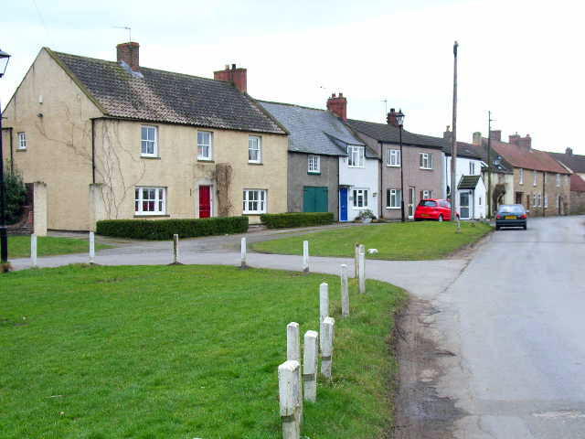
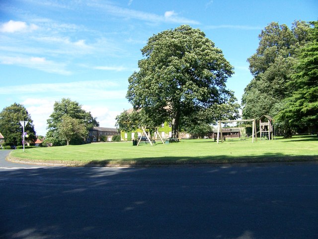
![]() Crakehall is located in the Hambleton District of North Yorkshire. It is separated into Great Crakehall and Little Crakehall by the Bedale Beck, a tributary of the River Swale.
Crakehall is located in the Hambleton District of North Yorkshire. It is separated into Great Crakehall and Little Crakehall by the Bedale Beck, a tributary of the River Swale.
This walk runs between Great Crakehall and the popular town of Bedale to the south. You can follow the pavement along the A684 road between the two villages and enjoy fine views of the surrounding countryside. It's about a 2 mile walk along a fairly flat roadside path.
At the southern end of the walk you can extend your outing along the lovely Bedale Beck in Bedale. Scroll down the page for a list of other walks near and around the village.
Crakehall Ordnance Survey Map  - view and print off detailed OS map
Crakehall Open Street Map  - view and print off detailed map
Crakehall OS Map  - Mobile GPS OS Map with Location tracking
Crakehall Open Street Map  - Mobile GPS Map with Location tracking
Walks near Crakehall
- Bedale - Enjoy a walk along the pretty Bedale Beck on this easy beckside walk in North Yorkshire
- Thorp Perrow Arboretum - Explore 100 acres of woodland, gardens and lakes in this beautiful arboretum near Bedale in North Yorkshire
- Masham - A circular walk exploring the countryside and rivers around the small town of Masham in North Yorkshire
- Northallerton - This market town is located in the Hambleton District of North Yorkshire.
- Wensleydale - This walk takes you from the village of Wensley, along the River Ure to Redmire Force and the Aysgarth Falls
- Thornton Steward Reservoir - This walk visits the pretty Thornton Steward Reservoir near the small village of Thornton Steward in the Wensleydale area of North Yorkshire.
- Jervaulx Abbey - This walk explores the photogenic ruins of the historic Jervaulx Abbey in North Yorkshire.


